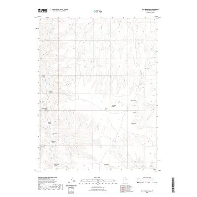
2020 Map of Flat Rock Mesa
USGS Topo · Published 2020About this map
Flat Rock Mesa dominates this 2020 topographic survey of Uintah County, Utah, where a complex network of high desert drainage systems reveals a history of movement and resource extraction. The map traces the winding course of Hill Cr, which cuts through the western portion of the quadrangle alongside numerous specifically named geological formations. These canyons, such as Mail Canyon, Mexican Canyon, and Upper Wagon Canyon, suggest a landscape shaped by historical freighting and travel routes.
Find a feature on this map
18 named features on this map. Tap any name to fly to it.
Don’t see what you’re looking for? This feature index may not catch every label — zoom into the map to look around manually.
Map Details
Editions of this 2020 Flat Rock Mesa Map
This is the sole edition of this map. No revisions or reprints were ever made.
Other maps of this area

1885 · East Tavaputs
USGS Topo · 1:250,000

1953 · Firewater Canyon
USGS Topo · 1:62,500

1956 · Grand Junction
USGS Topo · 1:250,000

1959 · Grand Junction
USGS Topo · 1:250,000

1960 · Grand Junction
USGS Topo · 1:250,000

1962 · Grand Junction
USGS Topo · 1:250,000

1963 · Tenmile Canyon
USGS Topo · 1:62,500

1963 · Moonwater Point
USGS Topo · 1:62,500

1964 · Grand Junction
USGS Topo · 1:250,000

1965 · Grand Junction
USGS Topo · 1:250,000