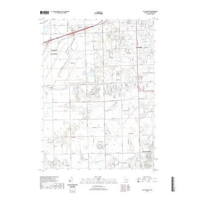
2019 Map of Flat Rock NE
USGS Topo · Published 2019About this map
The Detroit Metropolitan Wayne County Airport dominates the northwestern corner of this landscape, marking the intense urban and industrial development characterizing the Romulus and Taylor area. Below the airfield, the terrain is defined by an intricate network of artificial drainage channels like the Sloss and Ganong Drain and Sexton and Kilfoil Drain, which manage water across the flat topography towards the Huron River and Brownstown Cr. These waterways reflect the engineering required to support the suburban expansion of Woodhaven and surrounding townships.
Find a feature on this map
104 named features on this map. Tap any name to fly to it.
Don’t see what you’re looking for? This feature index may not catch every label — zoom into the map to look around manually.
Map Details
Editions of this 2019 Flat Rock NE Map
This is the sole edition of this map. No revisions or reprints were ever made.
Other maps of this area

1905 · Wayne
USGS Topo · 1:62,500

1905 · Detroit
USGS Topo · 1:62,500

1906 · Wyandotte
USGS Topo · 1:62,500

1906 · Romulus
USGS Topo · 1:62,500

1912 · Wyandotte
USGS Topo · 1:62,500

1912 · Wayne
USGS Topo · 1:62,500

1918 · Detroit
USGS Topo · 1:62,500

1924 · Detroit
USGS Topo · 1:62,500

1928 · Romulus
USGS Topo · 1:62,500

1929 · Wyandotte
USGS Topo · 1:62,500