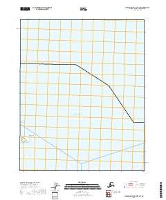
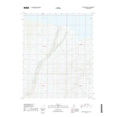
2018 Map of Flaxman Island A-3 OE E SW
USGS Topo · Published 2018About this map
Konganavik Point projects into the cold waters where Camden Bay meets the larger Beaufort Sea on the northern coast of Alaska. This survey, conducted by the U.S. Geological Survey, captures a landscape dominated by Arctic hydrology and the rigid grid of the Public Land Survey System, specifically T8n R28e. The shoreline here is a critical interface between land and sea, revealing the subtle coastal contours of the North Slope. While the area is largely devoid of human structures or settlements, the precise mapping of geographic markers like the point and the bay provides essential data for understanding coastal change and maritime navigation in this high-latitude region.
Find a feature on this map
4 named features on this map. Tap any name to fly to it.
Don’t see what you’re looking for? This feature index may not catch every label — zoom into the map to look around manually.
Map Details
Editions of this 2018 Flaxman Island A-3 OE E SW Map
This is the sole edition of this map. No revisions or reprints were ever made.
Other maps of this area

1951 · Mt. Michelson
USGS Topo · 1:250,000

1955 · Flaxman Island
USGS Topo · 1:250,000

1955 · Mount Michelson D-3
USGS Topo · 1:63,360

1955 · Mount Michelson D-2
USGS Topo · 1:63,360

1955 · Flaxman Island A-3
USGS Topo · 1:63,360

1956 · Mt. Michelson
USGS Topo · 1:250,000
2018 · Flaxman Island A-3 SE
USGS Topo · 1:25,000
2018 · Mount Michelson D-2 NE
USGS Topo · 1:25,000
2018 · Mount Michelson D-3 NE
USGS Topo · 1:25,000
2018 · Mount Michelson D-2 NW
USGS Topo · 1:25,000