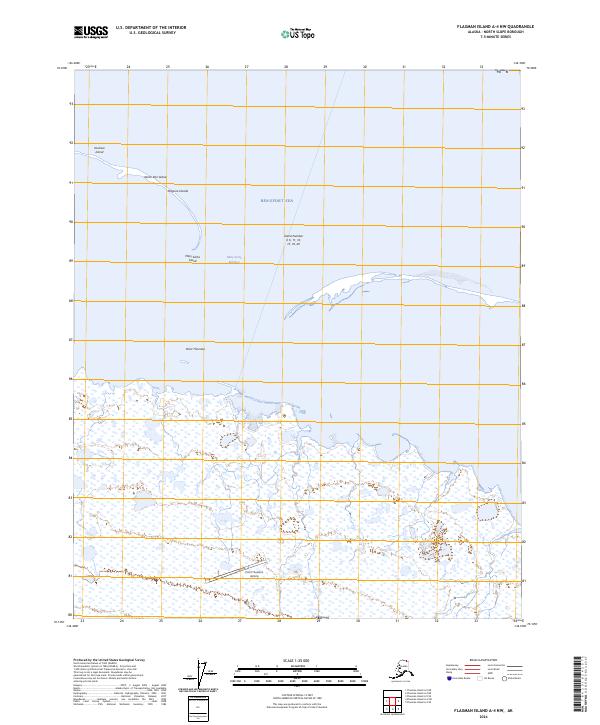
2024 Map of Flaxman Island A-4 NW
USGS Topo · Published 2024About this map
Point Thomson serves as the focal point of this coastal Arctic landscape, where the flat tundra meets the Beaufort Sea. This 2024 survey captures the intricate shoreline and the chain of offshore Maguire Islands, including Duchess Island, North Star Island, and Mary Sachs Island. The map illustrates the remote infrastructure required for life and industry on the North Slope, most notably the Point Thomson Airstrip.
Find a feature on this map
13 named features on this map. Tap any name to fly to it.
Don’t see what you’re looking for? This feature index may not catch every label — zoom into the map to look around manually.
Map Details
Editions of this 2024 Flaxman Island A-4 NW Map
This is the sole edition of this map. No revisions or reprints were ever made.
Other maps of this area

1955 · Flaxman Island
USGS Topo · 1:250,000

1955 · Flaxman Island A-5
USGS Topo · 1:63,360

1955 · Flaxman Island A-4
USGS Topo · 1:63,360
1955 · Flaxman Island B-5
USGS Topo · 1:63,360
1962 · Flaxman Island A-4
USGS Topo · 1:50,000
1962 · Flaxman Island A-5
USGS Topo · 1:50,000
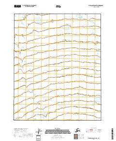
2018 · Flaxman Island A-5 SE
USGS Topo · 1:25,000
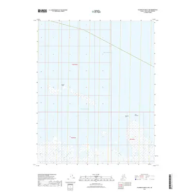
2018 · Flaxman Island A-4 NE
USGS Topo · 1:25,000
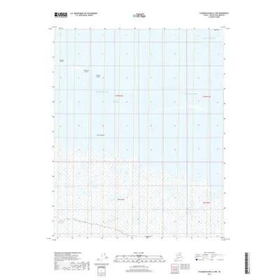
2018 · Flaxman Island A-4 NW
USGS Topo · 1:25,000
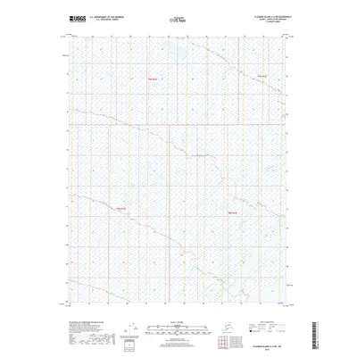
2018 · Flaxman Island A-4 SW
USGS Topo · 1:25,000