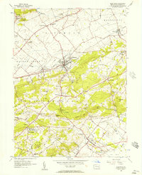
1956 Map of Fleetwood
USGS Topo · Published 1957About this map
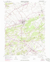
Fleetwood and the agricultural valleys of Berks County are documented in this mid-century survey, showcasing a landscape defined by the Reading railroad and the winding paths of Moselem Creek and Willow Creek. The map captures the industrial heritage of the region at Oley Furnace and several Quarry sites, alongside the community foundations of rural life. Numerous localized schools like Stimmels Sch and Seidel Sch are scattered across the townships, reflecting the educational network of Maiden Creek and Richmond.
Find a feature on this map
62 named features on this map. Tap any name to fly to it.
Don’t see what you’re looking for? This feature index may not catch every label — zoom into the map to look around manually.
Map Details
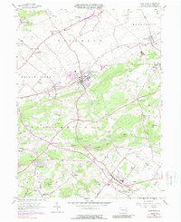
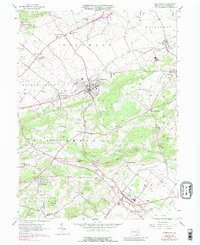
Editions of this 1956 Fleetwood Map
7 editions found
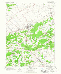
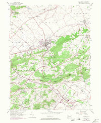
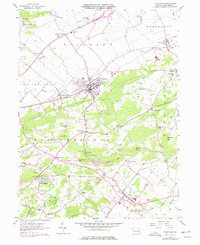
Other maps of this area

1894 · Reading
USGS Topo · 1:62,500

1902 · Boyertown
USGS Topo · 1:62,500

1902 · Slatington
USGS Topo · 1:62,500

1909 · Hamburg
USGS Topo · 1:62,500

1911 · Hamburg
USGS Topo · 1:62,500

1913 · Reading
USGS Topo · 1:62,500

1915 · Reading
USGS Topo · 1:62,500

1937 · Allentown West
USGS Topo · 1:48,000

1942 · Allentown West
USGS Topo · 1:62,500

1943 · Manatawny
USGS Topo · 1:31,680