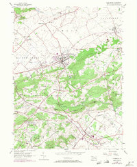
1956 Map of Fleetwood
USGS Topo · Published 1971About this map
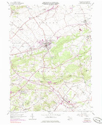
The Reading railroad corridor shapes the industrial and social geography of this Berks County landscape, linking the borough of Fleetwood with the neighboring village of Lyons. This 1956 survey, updated with 1969 revisions, captures a network of rural crossroads and valley settlements including Pricetown, Moselem Springs, and Oley. The infrastructure of the era is evident in the prominent pipeline and telephone lines that cut across the agricultural terrain, while the transition from traditional industry is marked by the presence of the Oley Furnace and several scattered quarries.
Find a feature on this map
67 named features on this map. Tap any name to fly to it.
Don’t see what you’re looking for? This feature index may not catch every label — zoom into the map to look around manually.
Map Details
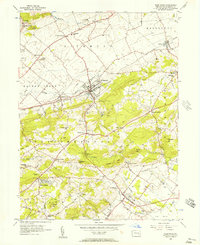
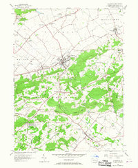
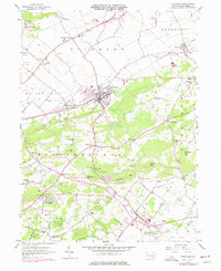
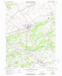
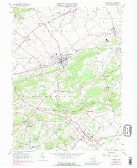
Editions of this 1956 Fleetwood Map
7 editions found
Other maps of this area

1894 · Reading
USGS Topo · 1:62,500

1902 · Boyertown
USGS Topo · 1:62,500

1902 · Slatington
USGS Topo · 1:62,500

1909 · Hamburg
USGS Topo · 1:62,500

1911 · Hamburg
USGS Topo · 1:62,500

1913 · Reading
USGS Topo · 1:62,500

1915 · Reading
USGS Topo · 1:62,500

1937 · Allentown West
USGS Topo · 1:48,000

1942 · Allentown West
USGS Topo · 1:62,500

1943 · Manatawny
USGS Topo · 1:31,680