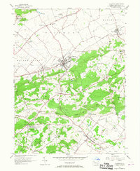
1956 Map of Fleetwood
USGS Topo · Published 1967About this map
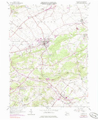
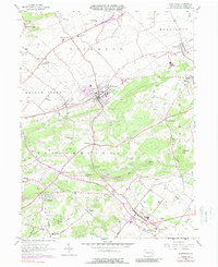
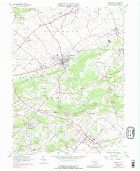
Fleetwood sits at the heart of this mid-century Berks County landscape, where the Reading railroad line connects rural settlements like Walnuttown and Lyons. The topography is defined by prominent ridges such as Irish Mtn and Sheep Hill, which flank the agricultural expanse of the Oley Valley. This area shows a dense concentration of local institutions, with numerous country schools including Mellon Sch, Seidel Sch, and Dreibelbis Sch serving the scattered population between larger towns like Pricetown and Alsace Manor.
Find a feature on this map
68 named features on this map. Tap any name to fly to it.
Don’t see what you’re looking for? This feature index may not catch every label — zoom into the map to look around manually.
Map Details
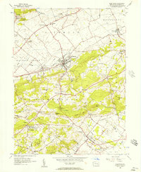
Editions of this 1956 Fleetwood Map
7 editions found
Other maps of this area

1894 · Reading
USGS Topo · 1:62,500

1902 · Boyertown
USGS Topo · 1:62,500

1902 · Slatington
USGS Topo · 1:62,500

1909 · Hamburg
USGS Topo · 1:62,500

1911 · Hamburg
USGS Topo · 1:62,500

1913 · Reading
USGS Topo · 1:62,500

1915 · Reading
USGS Topo · 1:62,500

1937 · Allentown West
USGS Topo · 1:48,000

1942 · Allentown West
USGS Topo · 1:62,500

1943 · Manatawny
USGS Topo · 1:31,680