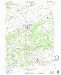
1956 Map of Fleetwood
USGS Topo · Published 1988About this map
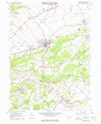
The borough of Fleetwood and the surrounding Berks County townships show a landscape deeply shaped by early Pennsylvania industry and agriculture. Named for its proximity to Furnace Creek, Oley Furnace stands as a primary landmark in the southern portion of the map, while Furnace Hill suggests the historical importance of local iron production. The transition from industrial roots to a post-war suburban and recreational character is visible in the emergence of the Rich Maiden Golf Course and several trailer parks, alongside the established operations of the Conrail railroad lines passing through Walnuttown and Lyons.
Find a feature on this map
67 named features on this map. Tap any name to fly to it.
Don’t see what you’re looking for? This feature index may not catch every label — zoom into the map to look around manually.
Map Details
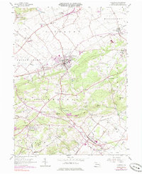
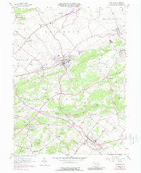
Editions of this 1956 Fleetwood Map
7 editions found
Other maps of this area

1894 · Reading
USGS Topo · 1:62,500

1902 · Boyertown
USGS Topo · 1:62,500

1902 · Slatington
USGS Topo · 1:62,500

1909 · Hamburg
USGS Topo · 1:62,500

1911 · Hamburg
USGS Topo · 1:62,500

1913 · Reading
USGS Topo · 1:62,500

1915 · Reading
USGS Topo · 1:62,500

1937 · Allentown West
USGS Topo · 1:48,000

1942 · Allentown West
USGS Topo · 1:62,500

1943 · Manatawny
USGS Topo · 1:31,680