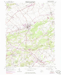
1956 Map of Fleetwood
USGS Topo · Published 1984About this map
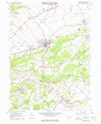
Fleetwood stands as the central hub of this Berks County landscape, where the Conrail rail line bisects the borough and connects it to neighboring Lyons. The surrounding terrain of the Oley Valley is defined by a dense network of localized institutions that speak to the region's established rural community, including numerous named schools such as Seidel Sch, Keller Sch, and Drelbelbis Sch. The presence of Oley Furnace and several scattered quarries highlights the industrial footprint embedded within the agricultural valleys of Richmond and Ruscombmanor townships.
Find a feature on this map
55 named features on this map. Tap any name to fly to it.
Don’t see what you’re looking for? This feature index may not catch every label — zoom into the map to look around manually.
Map Details
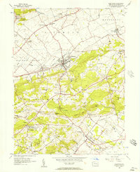
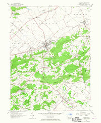
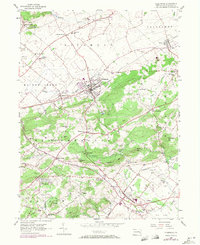
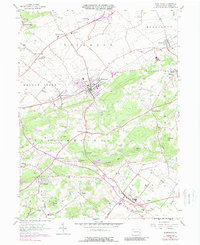
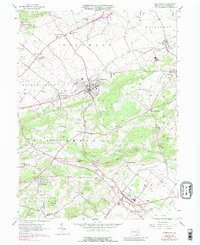
Editions of this 1956 Fleetwood Map
7 editions found
Other maps of this area

1894 · Reading
USGS Topo · 1:62,500

1902 · Boyertown
USGS Topo · 1:62,500

1902 · Slatington
USGS Topo · 1:62,500

1909 · Hamburg
USGS Topo · 1:62,500

1911 · Hamburg
USGS Topo · 1:62,500

1913 · Reading
USGS Topo · 1:62,500

1915 · Reading
USGS Topo · 1:62,500

1937 · Allentown West
USGS Topo · 1:48,000

1942 · Allentown West
USGS Topo · 1:62,500

1943 · Manatawny
USGS Topo · 1:31,680