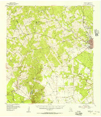
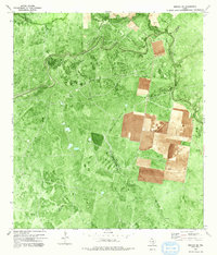
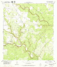
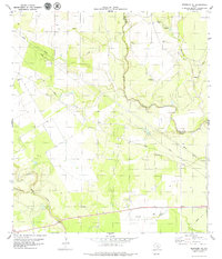
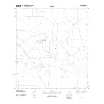
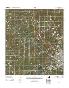
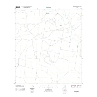
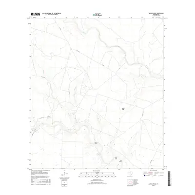
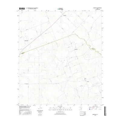
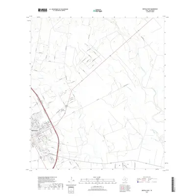
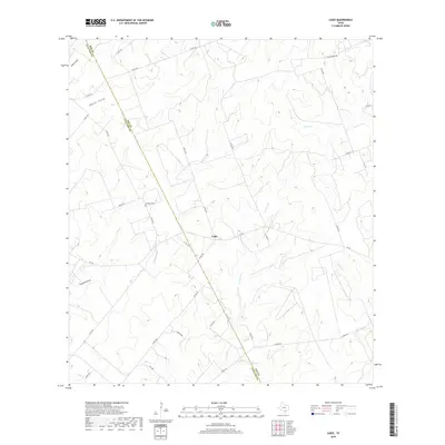
1954 Map of Fleming
USGS Topo · Published 1956About this map
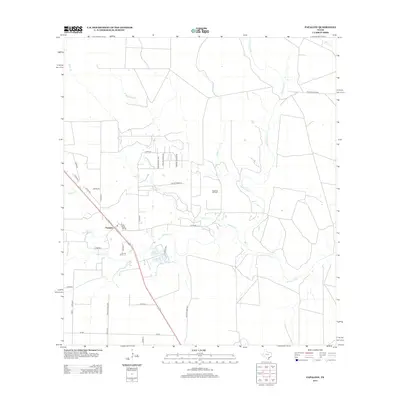
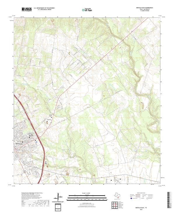
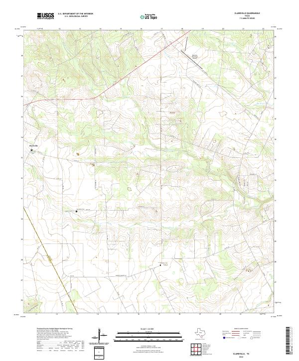
The Holzmark Oil Field and Rock Hill Oil Field dominate the mid-century landscape of Bee County, documenting the intensive energy development along the border with Live Oak County. The regional seat at Beeville serves as the primary hub, surrounded by a network of rural settlements like Cadiz and Clareville. The era’s industrial activity is etched into the terrain through a dense web of pipelines and multiple rail lines, including the Southern Pacific and Missouri Pacific.
Find a feature on this map
37 named features on this map. Tap any name to fly to it.
Don’t see what you’re looking for? This feature index may not catch every label — zoom into the map to look around manually.
Map Details
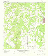
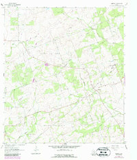
Editions of this 1954 Fleming Map
2 editions found
Historical Maps of Beeville Through Time
67 maps found
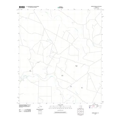
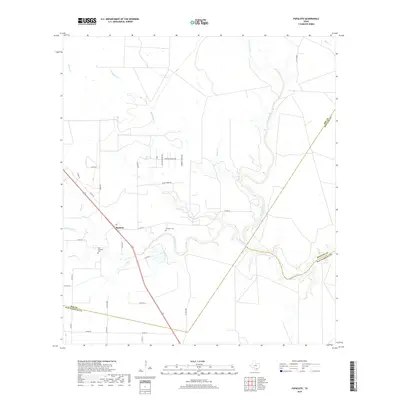
1954 Fleming
Bee County, TX
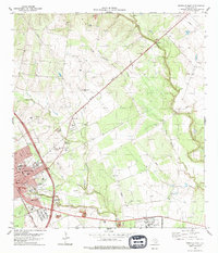
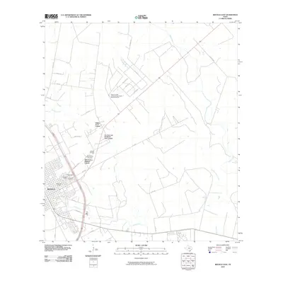
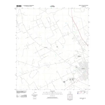
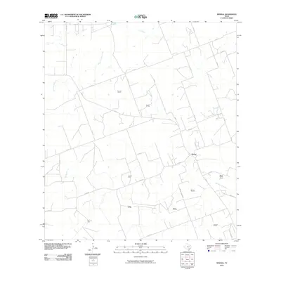
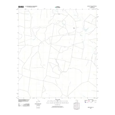
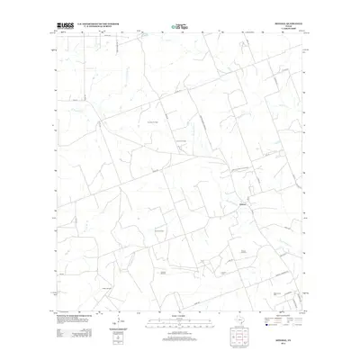
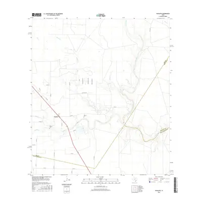
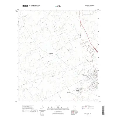
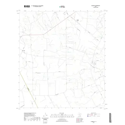
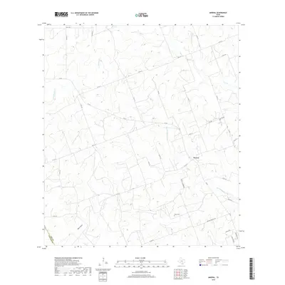
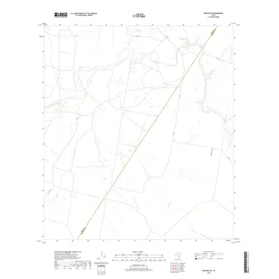
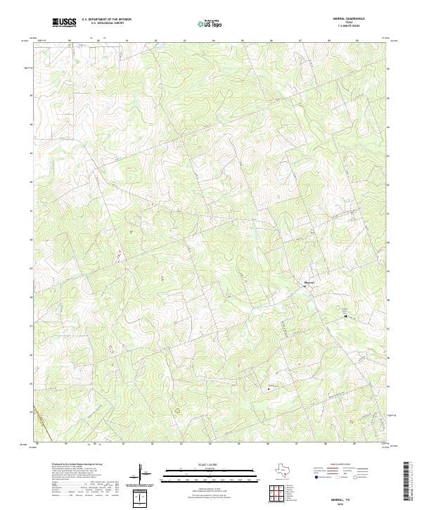
1963 Mineral
Bee County, TX
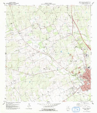
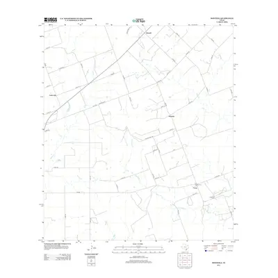
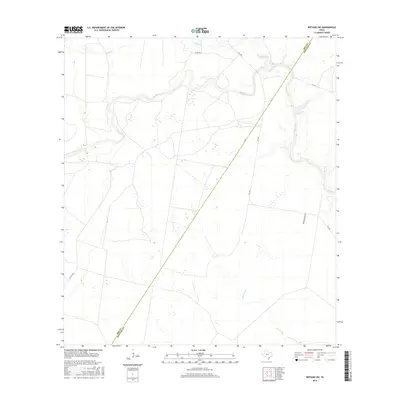
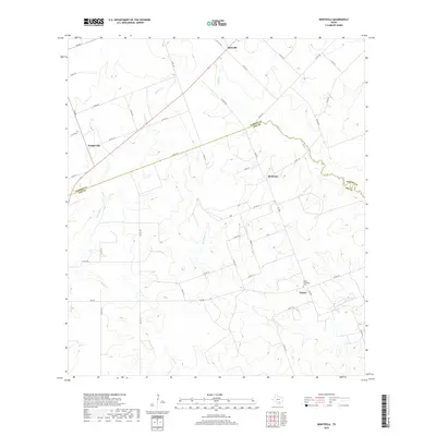
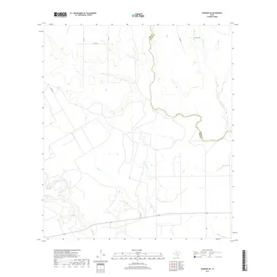
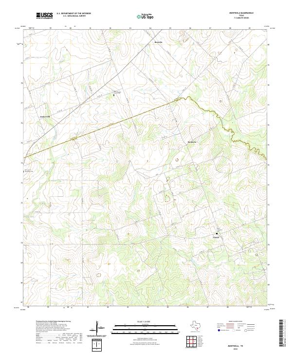
1963 Monteola
Bee County, TX
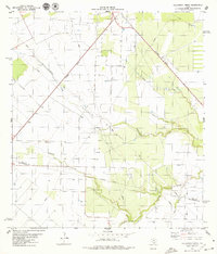
1978 Refugio SW
Bee County, TX
1979 Beeville East
Bee County, TX
1979 Beeville West
Bee County, TX
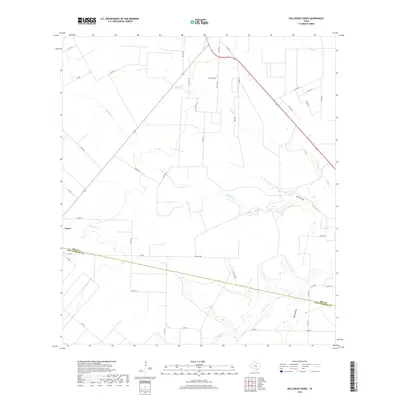
1979 Bullshead Creek
Bee County, TX
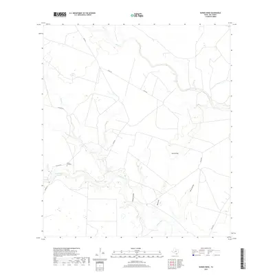
1979 Burkes Ridge
Bee County, TX
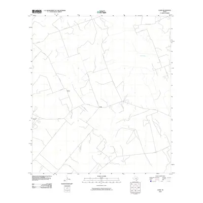
1979 Cadiz
Bee County, TX
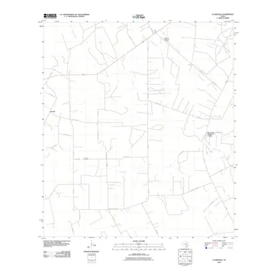
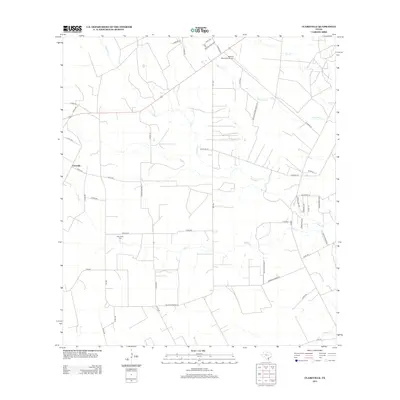
1979 Clareville
Bee County, TX
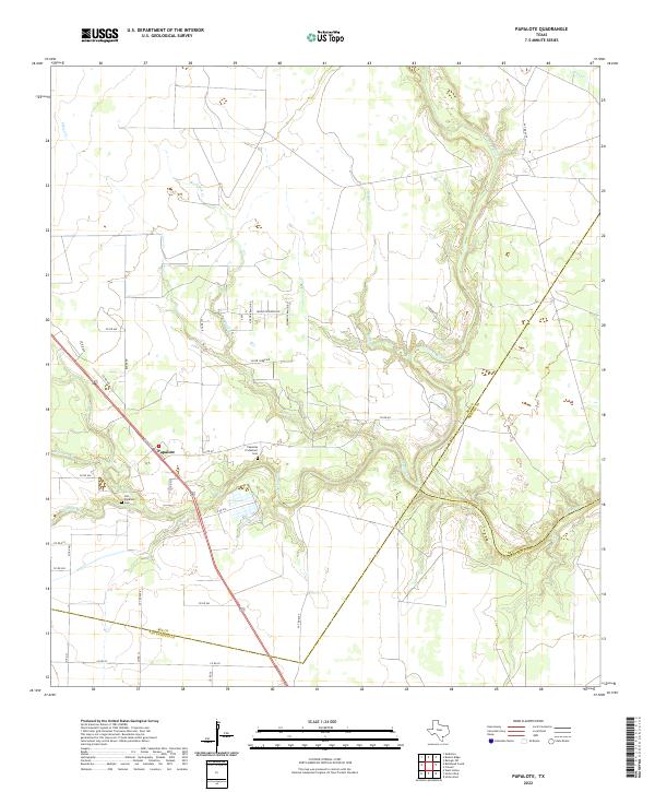
1979 Papalote
Bee County, TX
1979 Skidmore NE
Bee County, TX
2010 Beeville East
Bee County, TX
2010 Beeville West
Bee County, TX
2010 Bullshead Creek
Bee County, TX
2010 Burkes Ridge
Bee County, TX
2010 Cadiz
Bee County, TX
2010 Clareville
Bee County, TX
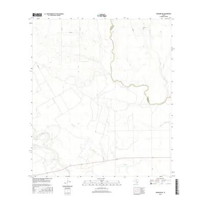
2010 Mineral
Bee County, TX

2010 Monteola
Bee County, TX
2010 Papalote
Bee County, TX
2010 Refugio SW
Bee County, TX
2010 Skidmore NE
Bee County, TX
2013 Beeville East
Bee County, TX
2013 Beeville West
Bee County, TX
2013 Bullshead Creek
Bee County, TX
2013 Burkes Ridge
Bee County, TX
2013 Cadiz
Bee County, TX
2013 Clareville
Bee County, TX
2013 Mineral
Bee County, TX
2013 Monteola
Bee County, TX
2013 Papalote
Bee County, TX
2013 Refugio SW
Bee County, TX
2013 Skidmore NE
Bee County, TX

2016 Beeville East
Bee County, TX
2016 Beeville West
Bee County, TX
2016 Bullshead Creek
Bee County, TX
2016 Burkes Ridge
Bee County, TX
2016 Cadiz
Bee County, TX
2016 Clareville
Bee County, TX
2016 Mineral
Bee County, TX
2016 Monteola
Bee County, TX
2016 Papalote
Bee County, TX
2016 Refugio SW
Bee County, TX
2016 Skidmore NE
Bee County, TX
2019 Beeville East
Bee County, TX
2019 Beeville West
Bee County, TX
2019 Bullshead Creek
Bee County, TX
2019 Burkes Ridge
Bee County, TX
2019 Cadiz
Bee County, TX
2019 Clareville
Bee County, TX
2019 Mineral
Bee County, TX
2019 Monteola
Bee County, TX
2019 Papalote
Bee County, TX
2019 Refugio SW
Bee County, TX
2019 Skidmore NE
Bee County, TX
2022 Beeville East
Bee County, TX
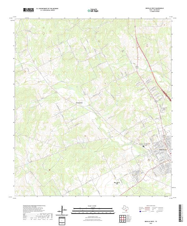
2022 Beeville West
Bee County, TX
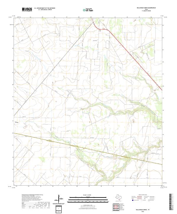
2022 Bullshead Creek
Bee County, TX
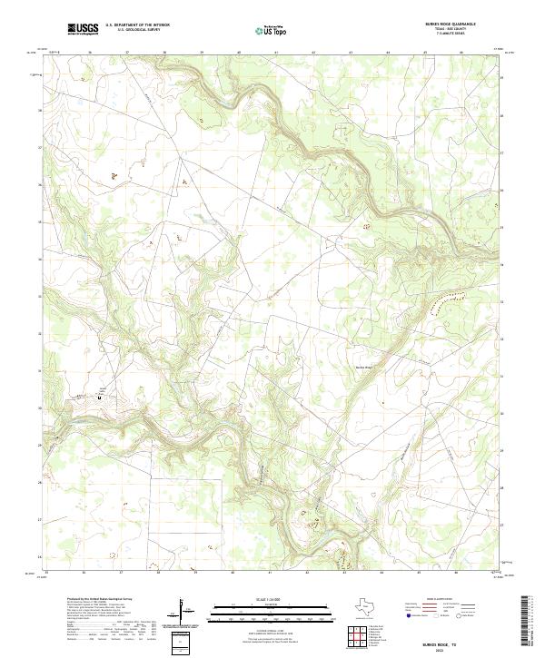
2022 Burkes Ridge
Bee County, TX
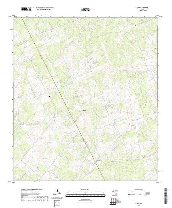
2022 Cadiz
Bee County, TX
2022 Clareville
Bee County, TX
2022 Mineral
Bee County, TX
2022 Monteola
Bee County, TX
2022 Papalote
Bee County, TX
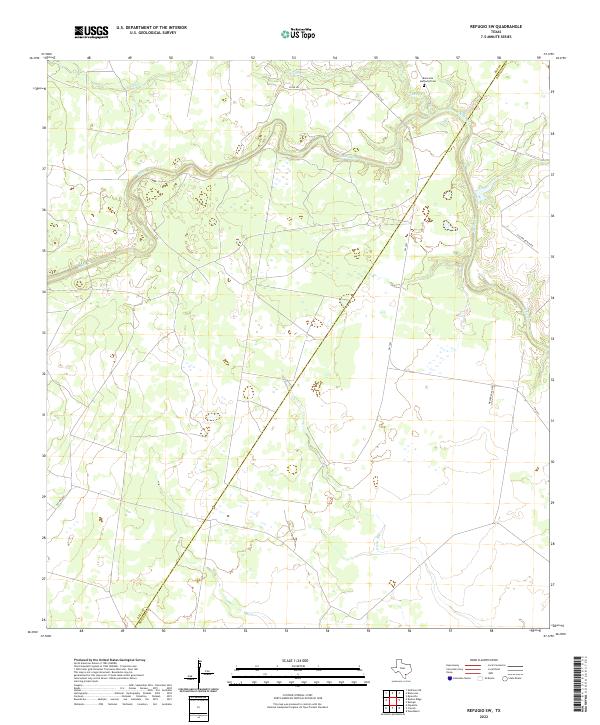
2022 Refugio SW
Bee County, TX
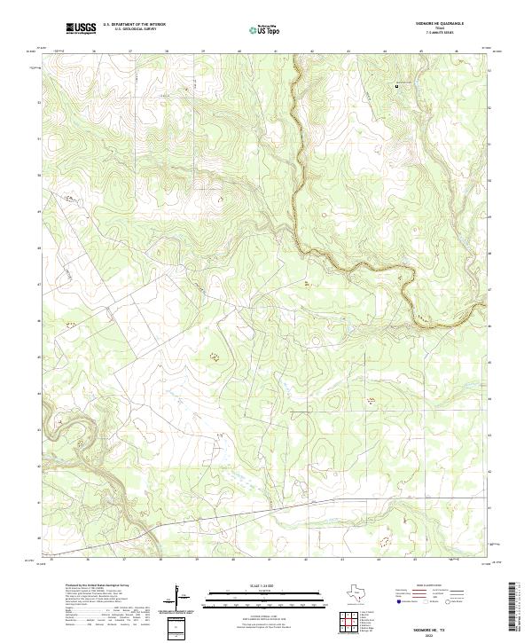
2022 Skidmore NE
Bee County, TX