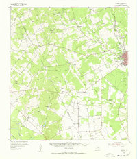
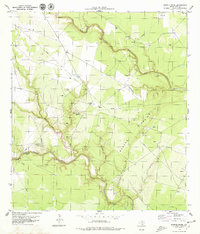
1954 Map of Fleming
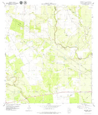
USGS Topo · Published 1956This historical map portrays the area of Fleming in 1954, primarily covering Bee County as well as portions of Live Oak County. Featuring a scale of 1:62500, this map provides a highly detailed snapshot of the terrain, roads, buildings, counties, and historical landmarks in the Fleming region at the time. Published in 1956, it is one of 2 known editions of this map due to revisions or reprints.
Find a feature on this map
40 named features on this map. Tap any name to fly to it.
Don’t see what you’re looking for? This feature index may not catch every label — zoom into the map to look around manually.
Map Details
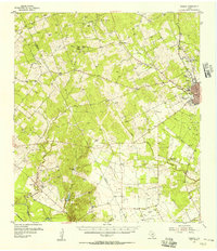
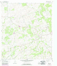
Editions of this 1954 Fleming Map
2 editions found
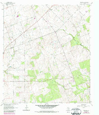
Historical Maps of River Oaks Number 2 Colonia Through Time
12 maps found
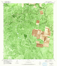
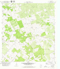
1954 Fleming
Bee County, TX
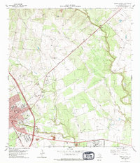
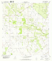
1963 Mineral
Bee County, TX
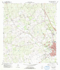
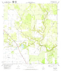
1963 Monteola
Bee County, TX
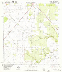
1978 Refugio SW
Bee County, TX
1979 Beeville East
Bee County, TX
1979 Beeville West
Bee County, TX
1979 Bullshead Creek
Bee County, TX
1979 Burkes Ridge
Bee County, TX
1979 Cadiz
Bee County, TX
1979 Clareville
Bee County, TX
1979 Papalote
Bee County, TX
1979 Skidmore NE
Bee County, TX