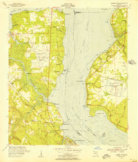
1952 Map of Fleming Island
USGS Topo · Published 1956About this map
St Johns River dominates this mid-century landscape, separating the developing Fleming Island from the settlements of Switzerland and Fruit Cove to the east. The river's influence is clear, from the numerous pilings and points like Hibernia Point and New Switzerland Point to the network of smaller waterways including Black Creek and Swimming Pen Creek. Aviation history is visible on both shores, featuring the active Fleming Island Airfield and the already Switzerland Airfield (Abandoned).
Find a feature on this map
54 named features on this map. Tap any name to fly to it.
Don’t see what you’re looking for? This feature index may not catch every label — zoom into the map to look around manually.
Map Details
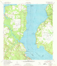
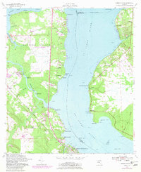
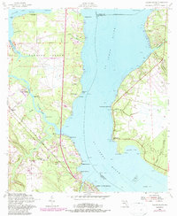
Editions of this 1952 Fleming Island Map
4 editions found
Other maps of this area

1917 · Orange Park
USGS Topo · 1:62,500

1918 · Middleburg
USGS Topo · 1:62,500

1918 · Orange Park
USGS Topo · 1:62,500

1941 · Middleburg
USGS Topo · 1:62,500

1942 · Ates Creek
USGS Topo · 1:62,500

1947 · Bostwick
USGS Topo · 1:50,000

1948 · Jacksonville
USGS Topo · 1:250,000

1949 · Green Cove Springs
USGS Topo · 1:24,000

1949 · Middleburg
USGS Topo · 1:24,000

1949 · Jacksonville Heights
USGS Topo · 1:24,000