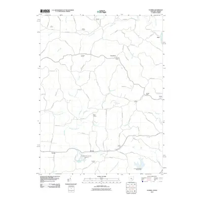
2010 Map of Fleming
USGS Topo · Published 2010About this map
Churchtown and Locust Fork serve as central points for this rural landscape in Washington County, defined by a dense network of family-named cemeteries and winding waterways. The prevalence of memorial sites, including Saint John Cemetery, Warren Chapel Cemetery, and the Brabham Cemetery, provides significant data for genealogists tracing local lineage in this corner of Ohio. Small settlements like McAvan, Alden, and Fleming are connected by a web of ridge-running roads such as Bosner Ridge Rd and Pine Ridge Rd, reflecting the upland settlement patterns of the region.
Find a feature on this map
85 named features on this map. Tap any name to fly to it.
Don’t see what you’re looking for? This feature index may not catch every label — zoom into the map to look around manually.
Map Details
Editions of this 2010 Fleming Map
This is the sole edition of this map. No revisions or reprints were ever made.
Other maps of this area

1902 · Parkersburg
USGS Topo · 1:62,500

1903 · Macksburg
USGS Topo · 1:62,500

1904 · Parkersburg
USGS Topo · 1:62,500

1904 · Marietta
USGS Topo · 1:62,500

1905 · Macksburg
USGS Topo · 1:62,500

1909 · Caldwell
USGS Topo · 1:62,500

1912 · Caldwell
USGS Topo · 1:62,500

1924 · Marietta
USGS Topo · 1:62,500

1927 · Marietta
USGS Topo · 1:62,500

1949 · Clarksburg
USGS Topo · 1:250,000