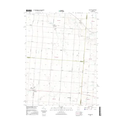
2016 Map of Fletcher
USGS Topo · Published 2016About this map
Fletcher stands at the heart of this agricultural landscape in eastern Miami County, where the regular geometry of Ohio's township and range system is intersected by a network of rural routes and winding waterways. The village of Lena and the community of Conover sit further east, while Plattsville and Ballou occupy the northern reaches. This terrain is defined by the branching paths of Leatherwood Cr, Mosquito Cr, and Spring Cr, which carved modest valleys through the surrounding farmland.
Find a feature on this map
79 named features on this map. Tap any name to fly to it.
Don’t see what you’re looking for? This feature index may not catch every label — zoom into the map to look around manually.
Map Details
Editions of this 2016 Fletcher Map
This is the sole edition of this map. No revisions or reprints were ever made.
Other maps of this area

1913 · Bellefontaine
USGS Topo · 1:48,000

1913 · Sidney
USGS Topo · 1:62,500

1914 · Troy
USGS Topo · 1:62,500

1914 · St. Paris
USGS Topo · 1:62,500

1915 · Bellefontaine
USGS Topo · 1:62,500

1916 · St. Paris
USGS Topo · 1:62,500

1944 · Sidney
USGS Topo · 1:62,500

1944 · St. Paris
USGS Topo · 1:62,500

1944 · Troy
USGS Topo · 1:62,500

1944 · Bellefontaine
USGS Topo · 1:62,500