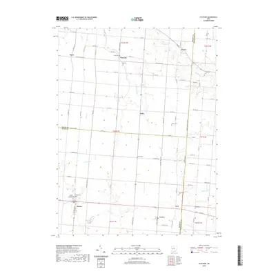
2019 Map of Fletcher
USGS Topo · Published 2019About this map
Fletcher and its neighboring hamlets sit at the intersection of several county lines in this agricultural corridor of western Ohio. The landscape is defined by the winding paths of Leatherwood Cr and W Br Lost Cr, which cut through the gridded network of township roads. This 2019 survey documents a high density of small family and community burial grounds, such as Pioneer Cem, Anderson Cem, and the Fletcher Presbyterian Churchyard Cem, which offer significant value for genealogical research in Miami, Shelby, and Champaign Counties. The settlement pattern remains centered around historic crossroads like Plattsville, Ballou, and Conover, where traditional rural infrastructure meets the modern thoroughfare of US Rte 36. These small hubs, often separated by only a few miles of farmland, reflect the early 19th-century land division and the enduring importance of local drainage systems like Gustin Ditch to the region's productivity.
Find a feature on this map
82 named features on this map. Tap any name to fly to it.
Don’t see what you’re looking for? This feature index may not catch every label — zoom into the map to look around manually.
Map Details
Editions of this 2019 Fletcher Map
This is the sole edition of this map. No revisions or reprints were ever made.
Other maps of this area

1913 · Bellefontaine
USGS Topo · 1:48,000

1913 · Sidney
USGS Topo · 1:62,500

1914 · Troy
USGS Topo · 1:62,500

1914 · St. Paris
USGS Topo · 1:62,500

1915 · Bellefontaine
USGS Topo · 1:62,500

1916 · St. Paris
USGS Topo · 1:62,500

1944 · Sidney
USGS Topo · 1:62,500

1944 · St. Paris
USGS Topo · 1:62,500

1944 · Troy
USGS Topo · 1:62,500

1944 · Bellefontaine
USGS Topo · 1:62,500