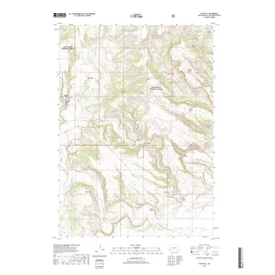
2017 Map of Flint Hill
USGS Topo · Published 2017About this map
The Cheyenne River winds through the southern reaches of the Black Hills National Forest in this 2017 survey of Fall River County. The landscape is defined by an intricate network of drainages that have carved deep into the terrain, creating named landmarks such as Wolf Canyon, Hell Canyon, and Devil Canyon. These features demonstrate the erosive power of seasonal water moving toward the river basin, shaping the ridges and valleys of this high-plains environment. High points like Chilson Mtn and Flint Hill provide topographical contrast to the neighboring canyons.
Find a feature on this map
26 named features on this map. Tap any name to fly to it.
Don’t see what you’re looking for? This feature index may not catch every label — zoom into the map to look around manually.
Map Details
Editions of this 2017 Flint Hill Map
This is the sole edition of this map. No revisions or reprints were ever made.
Other maps of this area

1902 · Edgemont
USGS Topo · 1:125,000

1950 · Edgemont
USGS Topo · 1:24,000

1950 · Heppner
USGS Topo · 1:24,000

1950 · Cascade Springs
USGS Topo · 1:24,000

1950 · Rumford
USGS Topo · 1:24,000

1950 · Edgemont NE
USGS Topo · 1:24,000

1950 · Minnekahta
USGS Topo · 1:24,000

1950 · Flint Hill
USGS Topo · 1:24,000

1951 · Minnekahta NE
USGS Topo · 1:24,000

1955 · Hot Springs
USGS Topo · 1:250,000