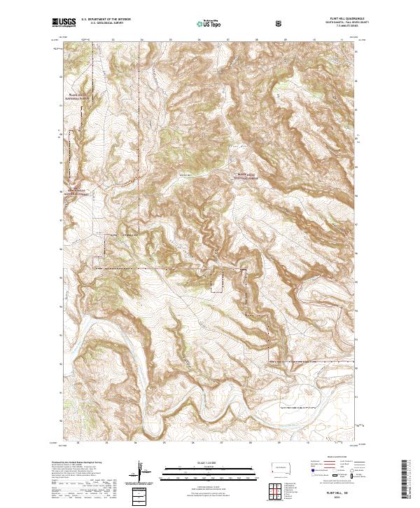
2021 Map of Flint Hill
USGS Topo · Published 2021About this map
Black Hills National Forest land dominates this section of Fall River County, where the southern reaches of the Black Hills meet the plains. The landscape is defined by an intricate network of drainage systems, most notably the winding Cheyenne River which cuts across the southern portion of the map. High points like Horsetrap Mtn, Chilson Mtn, and the namesake Flint Hill overlook a series of steep drainages, including Hell Canyon and Chilson Canyon. Modern recreation and transportation follow historical paths here, with the George S. Mickelson Trl traversing the northern ridges. This corridor reflects the transition from high timberland into the river valley, where roads such as Rocky Ford Rd and Co HWY 11 provide access to the canyon-cut terrain.
Find a feature on this map
27 named features on this map. Tap any name to fly to it.
Don’t see what you’re looking for? This feature index may not catch every label — zoom into the map to look around manually.
Map Details
Editions of this 2021 Flint Hill Map
This is the sole edition of this map. No revisions or reprints were ever made.
Other maps of this area

1902 · Edgemont
USGS Topo · 1:125,000

1950 · Edgemont
USGS Topo · 1:24,000

1950 · Heppner
USGS Topo · 1:24,000

1950 · Cascade Springs
USGS Topo · 1:24,000

1950 · Rumford
USGS Topo · 1:24,000

1950 · Edgemont NE
USGS Topo · 1:24,000

1950 · Minnekahta
USGS Topo · 1:24,000

1950 · Flint Hill
USGS Topo · 1:24,000

1951 · Minnekahta NE
USGS Topo · 1:24,000

1955 · Hot Springs
USGS Topo · 1:250,000