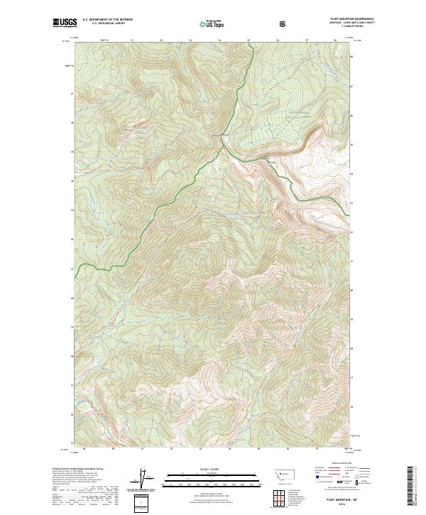
2024 Map of Flint Mountain
USGS Topo · Published 2024About this map
The Bob Marshall Wilderness and Scaregoat Wilderness meet in this high-altitude landscape within the Lewis & Clark National Forest. The geography is defined by significant topographic milestones including Trident Peaks and Triple Divide, where the waters of the South Fork Sun River and the Dry Fork North Fork Blackfoot River begin their respective journeys on opposite sides of the Continental Divide.
Find a feature on this map
34 named features on this map. Tap any name to fly to it.
Don’t see what you’re looking for? This feature index may not catch every label — zoom into the map to look around manually.
Map Details
Editions of this 2024 Flint Mountain Map
This is the sole edition of this map. No revisions or reprints were ever made.
Other maps of this area

1902 · Ovando
USGS Topo · 1:125,000

1903 · Coopers Lake
USGS Topo · 1:125,000

1905 · Ovando
USGS Topo · 1:125,000

1955 · Choteau
USGS Topo · 1:250,000

1957 · Choteau
USGS Topo · 1:250,000

1958 · Choteau
USGS Topo · 1:250,000

1962 · Choteau
USGS Topo · 1:250,000

1968 · Spread Mountain
USGS Topo · 1:24,000

1968 · Olson Peak
USGS Topo · 1:24,000
1968 · Lake Mountain
USGS Topo · 1:24,000