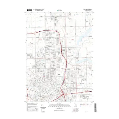
2014 Map of Flint North
USGS Topo · Published 2014About this map
The urban and industrial development of northern Flint and its surrounding communities is documented in this 2014 survey. The Flint River and Kearsley Reservoir dominate the hydrology, while a complex grid of residential and industrial streets extends from the city center toward Beecher and Mount Morris. Cultural and educational institutions are prominent, including the University of Michigan-Flint, Kettering University, and Mott Community College.
Find a feature on this map
69 named features on this map. Tap any name to fly to it.
Don’t see what you’re looking for? This feature index may not catch every label — zoom into the map to look around manually.
Map Details
Editions of this 2014 Flint North Map
This is the sole edition of this map. No revisions or reprints were ever made.
Other maps of this area

1919 · Burt
USGS Topo · 1:62,500

1920 · Flint
USGS Topo · 1:62,500

1920 · Holly
USGS Topo · 1:62,500

1921 · Burt
USGS Topo · 1:62,500

1922 · Holly
USGS Topo · 1:62,500

1922 · Durand
USGS Topo · 1:62,500

1922 · Flint
USGS Topo · 1:62,500

1943 · Holly
USGS Topo · 1:62,500

1943 · Burt
USGS Topo · 1:62,500

1943 · Durand
USGS Topo · 1:62,500