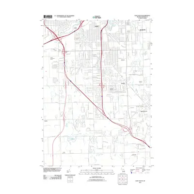
2011 Map of Flint South
USGS Topo · Published 2011About this map
Bishop International Airport serves as a major landmark on the western edge of this 2011 landscape, anchoring the suburban growth south of Flint. The area is characterized by a dense network of residential streets and arterial roads like Van Slyke Rd and Fenton Rd that connect the larger urban center to communities like Grand Blanc and Whigville. Historically significant sites for genealogists include several well-established burial grounds, such as Bristol Cemetery and Evergreen Cemetery, which are preserved alongside modern developments.
Find a feature on this map
155 named features on this map. Tap any name to fly to it.
Don’t see what you’re looking for? This feature index may not catch every label — zoom into the map to look around manually.
Map Details
Editions of this 2011 Flint South Map
This is the sole edition of this map. No revisions or reprints were ever made.
Other maps of this area

1919 · Burt
USGS Topo · 1:62,500

1920 · Flint
USGS Topo · 1:62,500

1920 · Holly
USGS Topo · 1:62,500

1921 · Burt
USGS Topo · 1:62,500

1922 · Holly
USGS Topo · 1:62,500

1922 · Durand
USGS Topo · 1:62,500

1922 · Flint
USGS Topo · 1:62,500

1943 · Holly
USGS Topo · 1:62,500

1943 · Burt
USGS Topo · 1:62,500

1943 · Durand
USGS Topo · 1:62,500