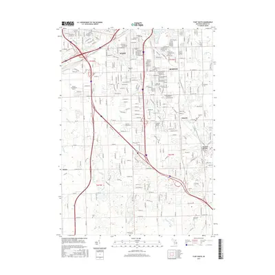
2017 Map of Flint South
USGS Topo · Published 2017About this map
Flint and its southern suburbs occupy this modern landscape, where urban density transitions into the expanding residential corridors of Burton and Grand Blanc. The area is characterized by a complex network of residential streets and heavy infrastructure, anchored by the presence of Bishop International Airport and Baker Coll of Flint. Waterways like Swartz Cr and Thread Cr wind through the developments, leading to local landmarks such as Thread Lake and Crystal Lake.
Find a feature on this map
297 named features on this map. Tap any name to fly to it.
Don’t see what you’re looking for? This feature index may not catch every label — zoom into the map to look around manually.
Map Details
Editions of this 2017 Flint South Map
This is the sole edition of this map. No revisions or reprints were ever made.
Other maps of this area

1919 · Burt
USGS Topo · 1:62,500

1920 · Flint
USGS Topo · 1:62,500

1920 · Holly
USGS Topo · 1:62,500

1921 · Burt
USGS Topo · 1:62,500

1922 · Holly
USGS Topo · 1:62,500

1922 · Durand
USGS Topo · 1:62,500

1922 · Flint
USGS Topo · 1:62,500

1943 · Holly
USGS Topo · 1:62,500

1943 · Burt
USGS Topo · 1:62,500

1943 · Durand
USGS Topo · 1:62,500