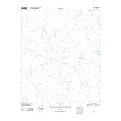
2010 Map of Flo
USGS Topo · Published 2010About this map
The unincorporated community of Flo serves as the central point of this Leon County landscape, situated near the intersection of FM 831 and FM 1511. The area is defined by its complex network of seasonal and perennial waterways, including Buffalo Creek, Wheelock Creek, and Serasca Creek, which drain the low-lying terrain. Genealogy researchers will find a significant concentration of family and community burial grounds scattered throughout the quadrangle, such as Lummus Cemetery, Stevens Cemetery, and Parker Cemetery. Industrial activity is marked by the Buffalo Oil Field, reflecting the region's energy-based economy in the early 21st century. Further east, water management is evident at Schweinle Lake, created by the Schweinle Lake Dam along one of the many local branches. This 2010 survey provides a modern snapshot of rural East Texas, showing how long-established family landholdings and small-scale infrastructure persist alongside oil and gas exploration.
Find a feature on this map
37 named features on this map. Tap any name to fly to it.
Don’t see what you’re looking for? This feature index may not catch every label — zoom into the map to look around manually.
Map Details
Editions of this 2010 Flo Map
This is the sole edition of this map. No revisions or reprints were ever made.
Other maps of this area

1919 · Fairfield
USGS Topo · 1:62,500

1953 · Palestine
USGS Topo · 1:250,000

1954 · Waco
USGS Topo · 1:250,000

1955 · Waco
USGS Topo · 1:250,000

1956 · Jewett
USGS Topo · 1:62,500

1957 · Palestine
USGS Topo · 1:250,000

1964 · Oakwood
USGS Topo · 1:24,000

1964 · Centerville
USGS Topo · 1:24,000

1964 · Flo
USGS Topo · 1:24,000

1964 · Eunice
USGS Topo · 1:24,000