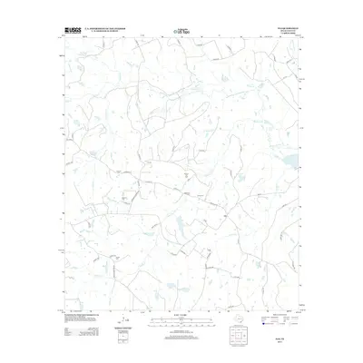
2013 Map of Flo
USGS Topo · Published 2013About this map
Flo sits at the heart of this East Texas landscape, where the local economy and land use are defined by a mix of ranching and energy extraction. The presence of the Buffalo Oil Field north of the community highlights the industrial character of Leon County, while the surrounding terrain is deeply carved by watercourses like Buffalo Cr and Wheelock Cr. For those researching family history, the map is a dense record of early rural life, preserving the locations of several small burial grounds including Lummus Cem, Stevens Cem, and Taylor Cem. The network of country roads, such as Stevens Cemetery Rd and Brushy Cemetery Rd, connects these remote sites, illustrating how the geography of the past remains etched into the modern parcel boundaries and infrastructure of the region.
Find a feature on this map
63 named features on this map. Tap any name to fly to it.
Don’t see what you’re looking for? This feature index may not catch every label — zoom into the map to look around manually.
Map Details
Editions of this 2013 Flo Map
This is the sole edition of this map. No revisions or reprints were ever made.
Other maps of this area

1919 · Fairfield
USGS Topo · 1:62,500

1953 · Palestine
USGS Topo · 1:250,000

1954 · Waco
USGS Topo · 1:250,000

1955 · Waco
USGS Topo · 1:250,000

1956 · Jewett
USGS Topo · 1:62,500

1957 · Palestine
USGS Topo · 1:250,000

1964 · Oakwood
USGS Topo · 1:24,000

1964 · Centerville
USGS Topo · 1:24,000

1964 · Flo
USGS Topo · 1:24,000

1964 · Eunice
USGS Topo · 1:24,000