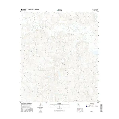
2016 Map of Flo
USGS Topo · Published 2016About this map
The settlement of Flo serves as a central point in this rural landscape within Leon County, where a network of family-named cemeteries highlights the area's deep genealogical roots. Historically significant sites such as Lummus Cem, Stevens Cem, and Taylor Cem are scattered throughout the undulating terrain, indicating long-established rural communities. The map reveals a complex drainage system dominated by Wheelock Cr and Buffalo Cr, which feed into numerous smaller tributaries like Red Oak Br and Cow Slash Cr.
Find a feature on this map
45 named features on this map. Tap any name to fly to it.
Don’t see what you’re looking for? This feature index may not catch every label — zoom into the map to look around manually.
Map Details
Editions of this 2016 Flo Map
This is the sole edition of this map. No revisions or reprints were ever made.
Other maps of this area

1919 · Fairfield
USGS Topo · 1:62,500

1953 · Palestine
USGS Topo · 1:250,000

1954 · Waco
USGS Topo · 1:250,000

1955 · Waco
USGS Topo · 1:250,000

1956 · Jewett
USGS Topo · 1:62,500

1957 · Palestine
USGS Topo · 1:250,000

1964 · Oakwood
USGS Topo · 1:24,000

1964 · Centerville
USGS Topo · 1:24,000

1964 · Flo
USGS Topo · 1:24,000

1964 · Eunice
USGS Topo · 1:24,000