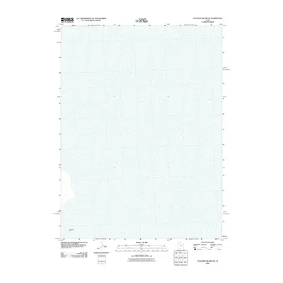
2010 Map of Floating Island NE
USGS Topo · Published 2010About this map
Bonneville Dike stands as the primary human-made feature in this expanse of Tooele County, representing the intersection of modern infrastructure and the Great Salt Lake Desert. The Usgs 2010 survey focuses on a remarkably flat and unpopulated landscape, where the vast salt flats are the defining characteristic. This area is historically significant as part of the prehistoric Lake Bonneville basin, and the map provides a precise look at the terrain as it appeared in the early 21st century. The isolation of the region is evident in the lack of settlements, schools, or churches, making the presence of the dike a singular point of interest for those studying the land management and transport corridors across the desert floor.
Find a feature on this map
1 named feature on this map. Tap any name to fly to it.
Don’t see what you’re looking for? This feature index may not catch every label — zoom into the map to look around manually.
Map Details
Editions of this 2010 Floating Island NE Map
This is the sole edition of this map. No revisions or reprints were ever made.
Other maps of this area

1953 · Tooele
USGS Topo · 1:250,000

1954 · Brigham City
USGS Topo · 1:250,000

1955 · Tooele
USGS Topo · 1:250,000

1958 · Brigham City
USGS Topo · 1:250,000

1962 · Brigham City
USGS Topo · 1:250,000

1973 · Floating Island SW
USGS Topo · 1:24,000

1973 · Knolls 2 NW
USGS Topo · 1:24,000

1973 · Floating Island SE
USGS Topo · 1:24,000

1973 · Floating Island NE
USGS Topo · 1:24,000

1973 · Knolls 2 SW
USGS Topo · 1:24,000