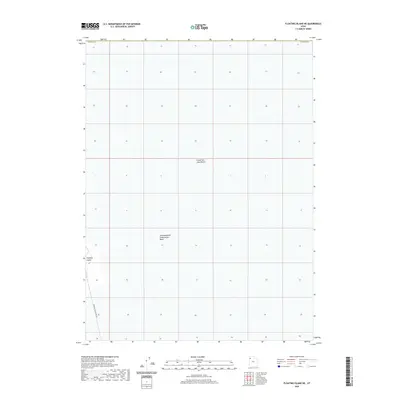
2020 Map of Floating Island NE
USGS Topo · Published 2020About this map
Great Salt Lake Desert dominates this Tooele County landscape, revealing an environment shaped by industrial-scale salt management and water containment. The western edge of the sheet features Floating Island, a distinct geological landmark rising above the surrounding basin. This area is heavily utilized for salt production, specifically within the Newfoundland Evaporation Basin, which occupies the central and southern portions of the map. Access to this remote industrial zone is traced via the Floating Island Dike Rd, a thoroughfare that navigates the engineered landscape of the salt flats. The map illustrates the geometric layout of evaporation ponds and dikes essential to the region's mineral extraction economy during the early 21st century.
Find a feature on this map
5 named features on this map. Tap any name to fly to it.
Don’t see what you’re looking for? This feature index may not catch every label — zoom into the map to look around manually.
Map Details
Editions of this 2020 Floating Island NE Map
This is the sole edition of this map. No revisions or reprints were ever made.
Other maps of this area

1953 · Tooele
USGS Topo · 1:250,000

1954 · Brigham City
USGS Topo · 1:250,000

1955 · Tooele
USGS Topo · 1:250,000

1958 · Brigham City
USGS Topo · 1:250,000

1962 · Brigham City
USGS Topo · 1:250,000

1973 · Floating Island SW
USGS Topo · 1:24,000

1973 · Knolls 2 NW
USGS Topo · 1:24,000

1973 · Floating Island SE
USGS Topo · 1:24,000

1973 · Floating Island NE
USGS Topo · 1:24,000

1973 · Knolls 2 SW
USGS Topo · 1:24,000