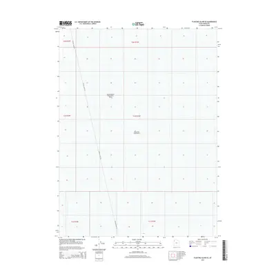
2014 Map of Floating Island SE
USGS Topo · Published 2014About this map
The Great Salt Lake Desert dominates this landscape in western Utah, reflecting the stark geography of the Bonneville Salt Flats region. This 2014 survey captures a specialized industrial landscape, centered on the Newfoundland Evaporation Basin, which spans multiple township and range lines. The topography is exceptionally flat, primarily recorded for its salt-crust terrain and hydrological management rather than permanent settlement. The only major transit corridor shown is Floating Island Rd, a lonely route cutting north-to-south across the desert floor to service the evaporation works. This map provides a clear record of land use and resource extraction in one of the most arid and isolated portions of Tooele County.
Find a feature on this map
9 named features on this map. Tap any name to fly to it.
Don’t see what you’re looking for? This feature index may not catch every label — zoom into the map to look around manually.
Map Details
Editions of this 2014 Floating Island SE Map
This is the sole edition of this map. No revisions or reprints were ever made.
Other maps of this area

1953 · Tooele
USGS Topo · 1:250,000

1955 · Tooele
USGS Topo · 1:250,000

1973 · Arinosa
USGS Topo · 1:24,000

1973 · Floating Island SW
USGS Topo · 1:24,000

1973 · Arinosa NE
USGS Topo · 1:24,000

1973 · Knolls 2 NW
USGS Topo · 1:24,000

1973 · Floating Island SE
USGS Topo · 1:24,000

1973 · Barro
USGS Topo · 1:24,000

1973 · Floating Island NE
USGS Topo · 1:24,000

1973 · Knolls 2 SW
USGS Topo · 1:24,000