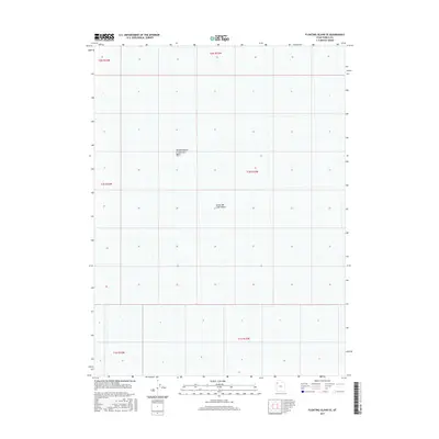
2017 Map of Floating Island SE
USGS Topo · Published 2017About this map
Great Salt Lake Desert dominates this landscape in western Utah, revealing a terrain defined by its extreme isolation and the remnants of prehistoric water bodies. The northern portion of the map is punctuated by the Newfoundland Evaporation Basin, a feature that illustrates the modern industrial intersection with this otherwise desolate salt flat. The map serves as a record of the Public Land Survey System, showing the alignment of townships and ranges such as t1n r15w and t1s r16w across the vast, flat expanse. The lack of settlements or roads underscores the environmental severity of this region, where the primary topographic variations are found in the subtle contours of the evaporation works and the open desert flats.
Find a feature on this map
9 named features on this map. Tap any name to fly to it.
Don’t see what you’re looking for? This feature index may not catch every label — zoom into the map to look around manually.
Map Details
Editions of this 2017 Floating Island SE Map
This is the sole edition of this map. No revisions or reprints were ever made.
Other maps of this area

1953 · Tooele
USGS Topo · 1:250,000

1955 · Tooele
USGS Topo · 1:250,000

1973 · Arinosa
USGS Topo · 1:24,000

1973 · Floating Island SW
USGS Topo · 1:24,000

1973 · Arinosa NE
USGS Topo · 1:24,000

1973 · Knolls 2 NW
USGS Topo · 1:24,000

1973 · Floating Island SE
USGS Topo · 1:24,000

1973 · Barro
USGS Topo · 1:24,000

1973 · Floating Island NE
USGS Topo · 1:24,000

1973 · Knolls 2 SW
USGS Topo · 1:24,000