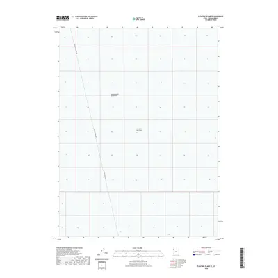
2020 Map of Floating Island SE
USGS Topo · Published 2020About this map
The Great Salt Lake Desert dominates this landscape, reflecting the stark geography of Tooele County. This 2020 survey documents a transition zone within the desert floor, where the Newfoundland Evaporation Basin marks a significant hydrological and industrial feature of the region. The map reveals the intricate grid of the Public Land Survey System overlaying this flat, expansive terrain, which is primarily accessed via the Floating Island Dike Rd. This road serves as a vital artery through the desolate surroundings, providing a rare point of orientation in an otherwise featureless expanse. The interplay of evaporation basins and desert flats illustrates the specialized land use characteristic of the western salt flats in the early twenty-first century.
Find a feature on this map
3 named features on this map. Tap any name to fly to it.
Don’t see what you’re looking for? This feature index may not catch every label — zoom into the map to look around manually.
Map Details
Editions of this 2020 Floating Island SE Map
This is the sole edition of this map. No revisions or reprints were ever made.
Other maps of this area

1953 · Tooele
USGS Topo · 1:250,000

1955 · Tooele
USGS Topo · 1:250,000

1973 · Arinosa
USGS Topo · 1:24,000

1973 · Floating Island SW
USGS Topo · 1:24,000

1973 · Arinosa NE
USGS Topo · 1:24,000

1973 · Knolls 2 NW
USGS Topo · 1:24,000

1973 · Floating Island SE
USGS Topo · 1:24,000

1973 · Barro
USGS Topo · 1:24,000

1973 · Floating Island NE
USGS Topo · 1:24,000

1973 · Knolls 2 SW
USGS Topo · 1:24,000