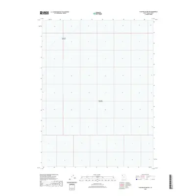
2020 Map of Floating Island SW
USGS Topo · Published 2020About this map
The Bonneville Salt Flats dominate the northwestern portion of this 2020 landscape, representing a stark and iconic geological remnant of the prehistoric Lake Bonneville. This high-altitude salt crust transition into the broader expanse of the Great Salt Lake Desert, which covers the southern and eastern reaches of the quadrangle. The map captures the geometric precision of the Public Land Survey System grid overlaying a terrain defined by its extreme flatness and lack of surface water features. This specific area in Tooele County is characterized by its vast, reflective salt crusts, which have historically served as a unique platform for land speed records and military testing. The topographical detail, though sparse in terms of traditional landmarks, illustrates the immense scale of this evaporative basin within the Great Basin region.
Find a feature on this map
2 named features on this map. Tap any name to fly to it.
Don’t see what you’re looking for? This feature index may not catch every label — zoom into the map to look around manually.
Map Details
Editions of this 2020 Floating Island SW Map
This is the sole edition of this map. No revisions or reprints were ever made.
Other maps of this area

1953 · Tooele
USGS Topo · 1:250,000

1955 · Tooele
USGS Topo · 1:250,000

1971 · Graham Peak
USGS Topo · 1:24,000

1971 · Bonneville Racetrack
USGS Topo · 1:24,000

1973 · Arinosa
USGS Topo · 1:24,000

1973 · Floating Island SW
USGS Topo · 1:24,000

1973 · Arinosa NE
USGS Topo · 1:24,000

1973 · Floating Island SE
USGS Topo · 1:24,000
1973 · Salduro
USGS Topo · 1:24,000

1973 · Floating Island NE
USGS Topo · 1:24,000