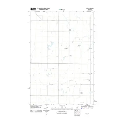
2011 Map of Flom
USGS Topo · Published 2011About this map
The crossroads community of Flom and the nearby settlement of Fossum anchor this rural Norman County landscape. Dominated by a rigorous grid of section-line roads, the area preserves its cultural heritage through several denominationally distinct burial grounds, including Aspelund Norwegian Lutheran Cemetery, East Wild Rice Lutheran Cemetery, and Walworth Baptist Cemetery. These sites, along with the Flom Post Office, mark the enduring focal points of local genealogy and social history.
Find a feature on this map
34 named features on this map. Tap any name to fly to it.
Don’t see what you’re looking for? This feature index may not catch every label — zoom into the map to look around manually.
Map Details
Editions of this 2011 Flom Map
This is the sole edition of this map. No revisions or reprints were ever made.
Other maps of this area

1918 · Twin Valley
USGS Topo · 1:62,500

1918 · Flom
USGS Topo · 1:62,500

1918 · Ulen
USGS Topo · 1:62,500

1952 · Grand Forks
USGS Topo · 1:250,000

1956 · Grand Forks
USGS Topo · 1:250,000

1965 · Waukon
USGS Topo · 1:24,000

1965 · Twin Valley
USGS Topo · 1:24,000

1965 · Syre
USGS Topo · 1:24,000

1966 · Flom
USGS Topo · 1:24,000

1966 · Grand Forks
USGS Topo · 1:250,000