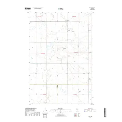
2019 Map of Flom
USGS Topo · Published 2019About this map
Frenchmans Bluff stands as a prominent topographical feature in this portion of western Minnesota, where the borders of Norman, Clay, and Becker counties meet. The landscape is defined by its agricultural character and the scattered small communities of Flom and Fossum. This rural network is anchored by several denominational burial grounds that reflect the region's cultural heritage, including the East Wild Rice Lutheran Cem and the Aspelund Norwegian Lutheran Cem. Water management is evident through features like County Ditch Number Fortysix, which navigates the low-lying areas near Coon Cr. The map provides a detailed view of the section lines and township grids that organized these prairies for settlement, illustrating the enduring layout of family farms and local roads that have shaped the area since the late 19th century.
Find a feature on this map
48 named features on this map. Tap any name to fly to it.
Don’t see what you’re looking for? This feature index may not catch every label — zoom into the map to look around manually.
Map Details
Editions of this 2019 Flom Map
This is the sole edition of this map. No revisions or reprints were ever made.
Other maps of this area

1918 · Twin Valley
USGS Topo · 1:62,500

1918 · Flom
USGS Topo · 1:62,500

1918 · Ulen
USGS Topo · 1:62,500

1952 · Grand Forks
USGS Topo · 1:250,000

1956 · Grand Forks
USGS Topo · 1:250,000

1965 · Waukon
USGS Topo · 1:24,000

1965 · Twin Valley
USGS Topo · 1:24,000

1965 · Syre
USGS Topo · 1:24,000

1966 · Flom
USGS Topo · 1:24,000

1966 · Grand Forks
USGS Topo · 1:250,000