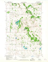
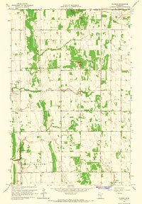
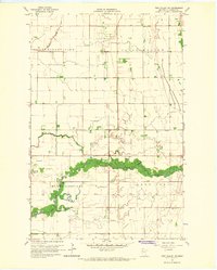
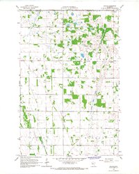
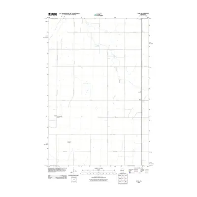
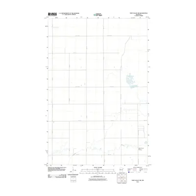
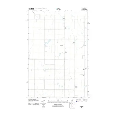
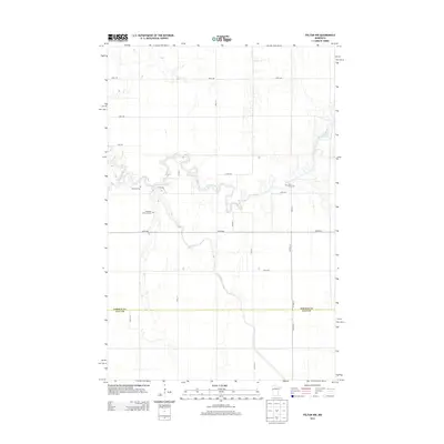
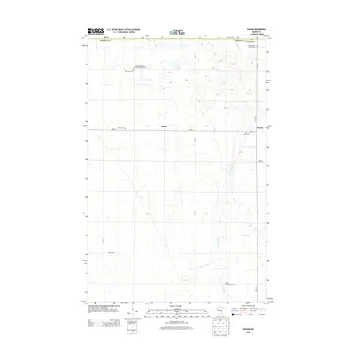
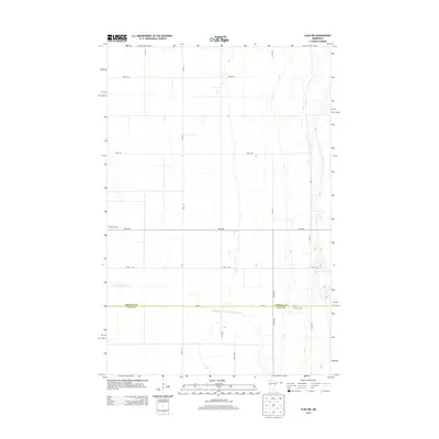
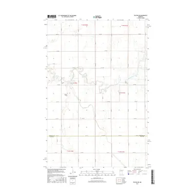
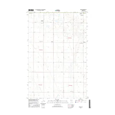
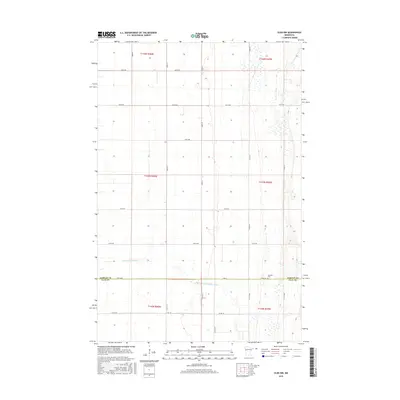
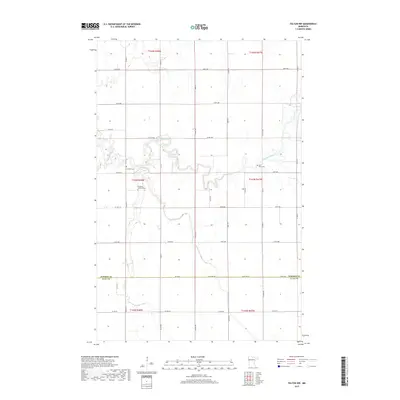
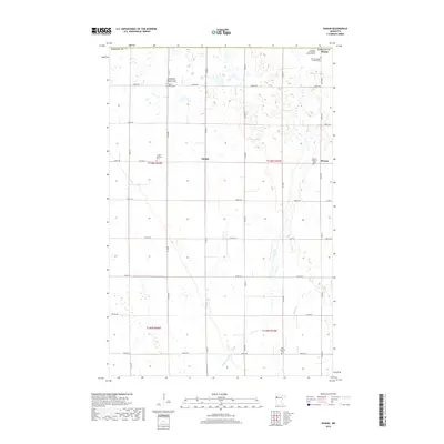
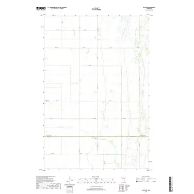
1966 Map of Flom
USGS Topo · Published 1967About this map
Wild Rice flows through this corner of Northwest Minnesota, where the agricultural landscape meets an extensive network of conservation lands in the mid-1960s. The map reveals a community structured around its spiritual and civic centers, featuring numerous rural houses of worship such as Wild Rice Ch, Bethlehem Ch, and Aspelund Ch. A significant portion of the terrain is dedicated to wildlife preservation, including the Vangsness State Wildlife Management Area and the Home Lake State Wildlife Management Area, reflecting a managed balance between farming and the natural environment.
Find a feature on this map
27 named features on this map. Tap any name to fly to it.
Don’t see what you’re looking for? This feature index may not catch every label — zoom into the map to look around manually.
Map Details
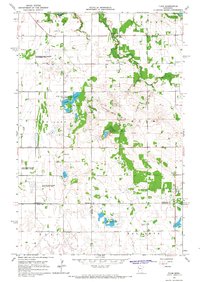
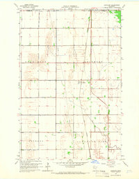
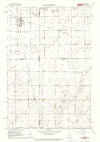
Editions of this 1966 Flom Map
2 editions found
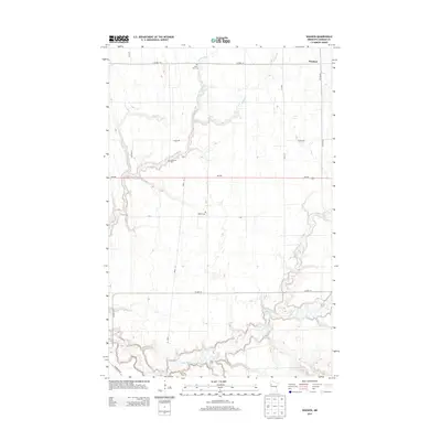
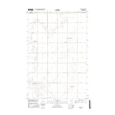
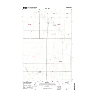
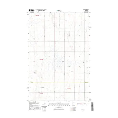
Historical Maps of Flom Through Time
73 maps found
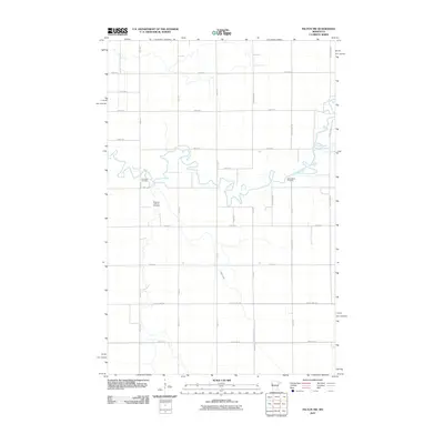
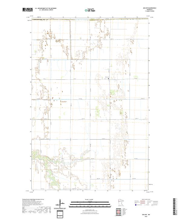
1965 Ada NW
Norman County, MN
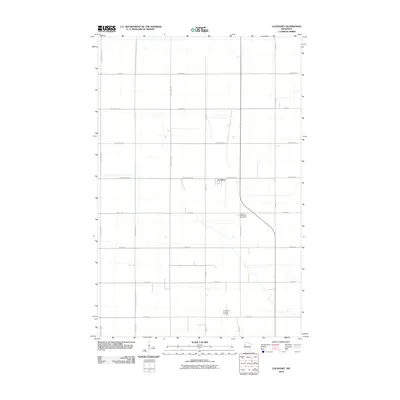
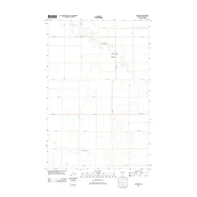
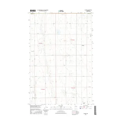
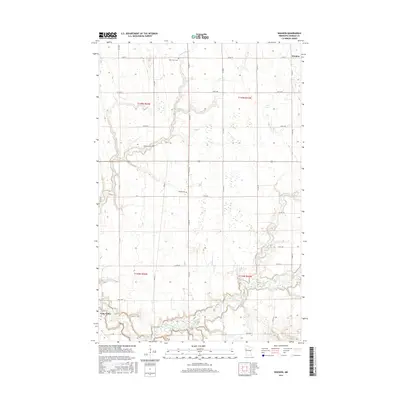
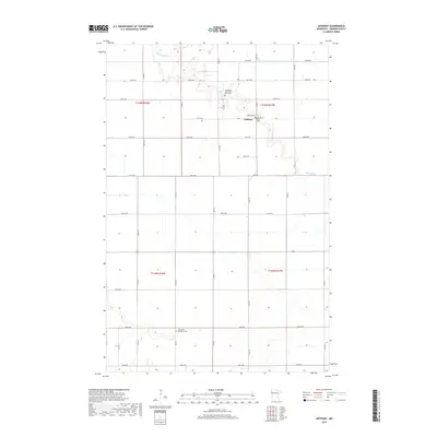
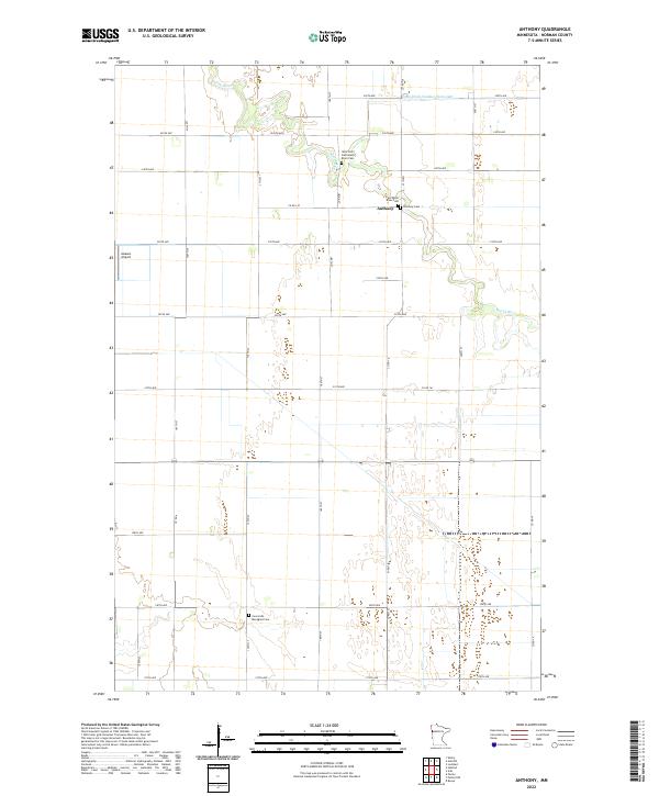
1965 Anthony
Norman County, MN
1965 Flaming
Norman County, MN
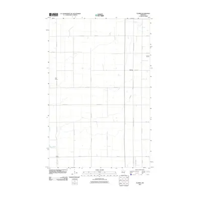
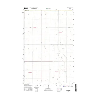
1965 Lockhart
Norman County, MN
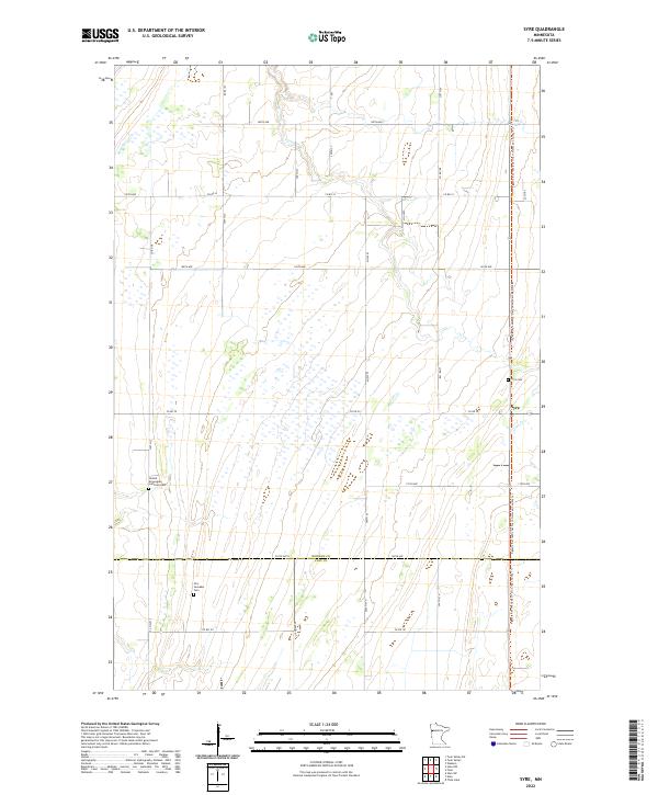
1965 Syre
Norman County, MN
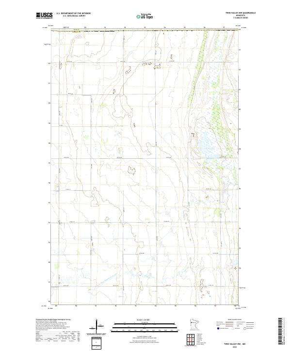
1965 Twin Valley NW
Norman County, MN
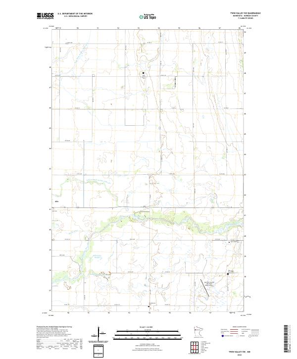
1965 Twin Valley SW
Norman County, MN
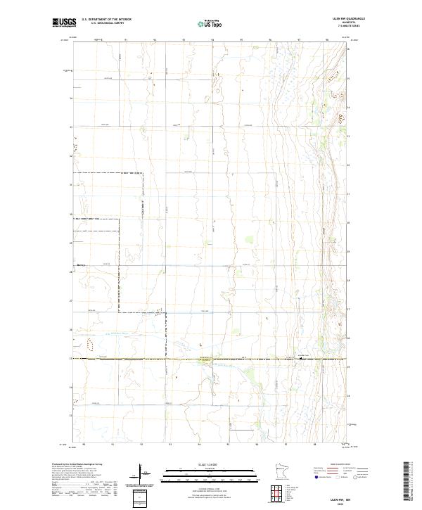
1965 Ulen NW
Norman County, MN
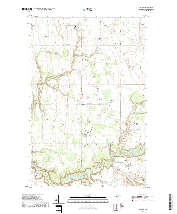
1965 Waukon
Norman County, MN
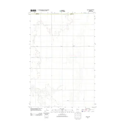
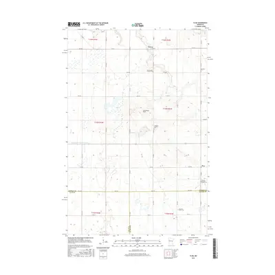
1966 Felton NW
Norman County, MN
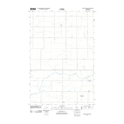
1966 Flom
Norman County, MN
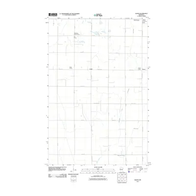
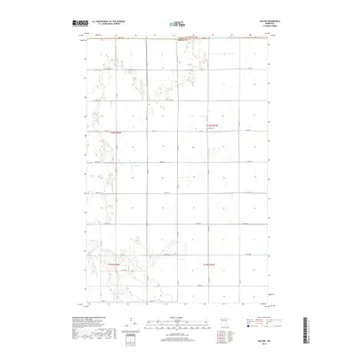
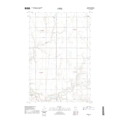
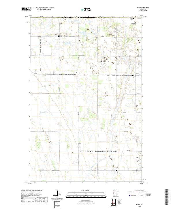
1966 Ranum
Norman County, MN
1967 Elkton
Norman County, MN
2010 Ada NW
Norman County, MN
2010 Anthony
Norman County, MN
2010 Felton NW
Norman County, MN
2010 Flaming
Norman County, MN
2010 Lockhart
Norman County, MN
2010 Syre
Norman County, MN
2010 Twin Valley NW
Norman County, MN
2010 Twin Valley SW
Norman County, MN
2010 Ulen NW
Norman County, MN
2010 Waukon
Norman County, MN
2011 Flom
Norman County, MN
2011 Ranum
Norman County, MN
2013 Ada NW
Norman County, MN
2013 Anthony
Norman County, MN
2013 Felton NW
Norman County, MN
2013 Flaming
Norman County, MN
2013 Flom
Norman County, MN
2013 Lockhart
Norman County, MN
2013 Ranum
Norman County, MN
2013 Syre
Norman County, MN
2013 Twin Valley NW
Norman County, MN
2013 Twin Valley SW
Norman County, MN
2013 Ulen NW
Norman County, MN
2013 Waukon
Norman County, MN
2016 Ada NW
Norman County, MN
2016 Anthony
Norman County, MN
2016 Felton NW
Norman County, MN
2016 Flaming
Norman County, MN
2016 Flom
Norman County, MN
2016 Lockhart
Norman County, MN
2016 Ranum
Norman County, MN
2016 Syre
Norman County, MN
2016 Twin Valley NW
Norman County, MN
2016 Twin Valley SW
Norman County, MN
2016 Ulen NW
Norman County, MN
2016 Waukon
Norman County, MN
2019 Ada NW
Norman County, MN
2019 Anthony
Norman County, MN
2019 Felton NW
Norman County, MN
2019 Flaming
Norman County, MN
2019 Flom
Norman County, MN
2019 Lockhart
Norman County, MN
2019 Ranum
Norman County, MN
2019 Syre
Norman County, MN
2019 Twin Valley NW
Norman County, MN
2019 Twin Valley SW
Norman County, MN
2019 Ulen NW
Norman County, MN
2019 Waukon
Norman County, MN
2022 Ada NW
Norman County, MN
2022 Anthony
Norman County, MN
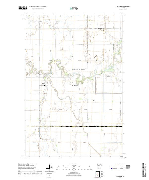
2022 Felton NW
Norman County, MN
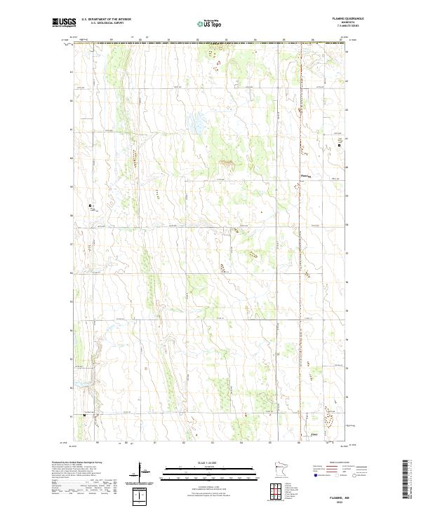
2022 Flaming
Norman County, MN
2022 Flom
Norman County, MN
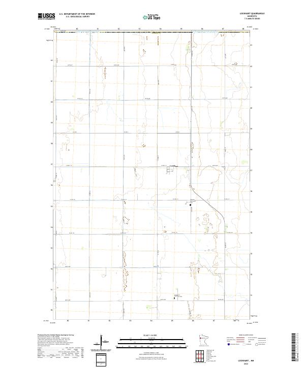
2022 Lockhart
Norman County, MN
2022 Ranum
Norman County, MN
2022 Syre
Norman County, MN
2022 Twin Valley NW
Norman County, MN
2022 Twin Valley SW
Norman County, MN
2022 Ulen NW
Norman County, MN
2022 Waukon
Norman County, MN