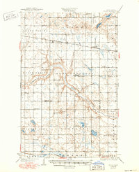
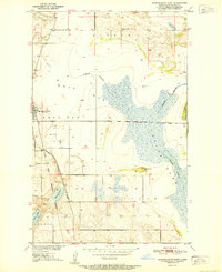
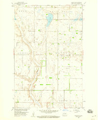
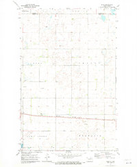
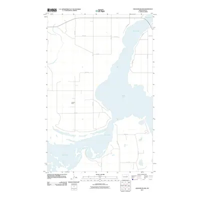
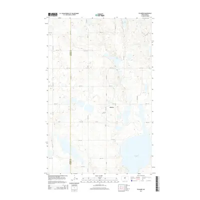
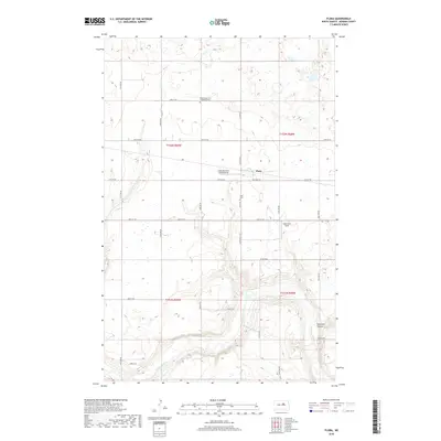
1932 Map of Flora
USGS Topo · Published 1950About this map
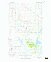
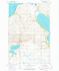
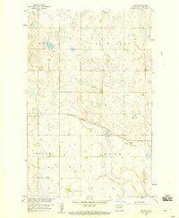
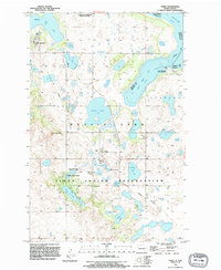
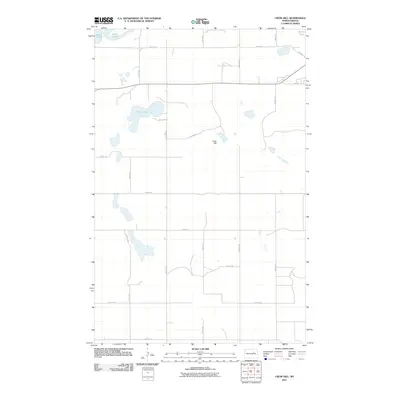
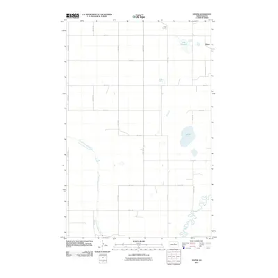
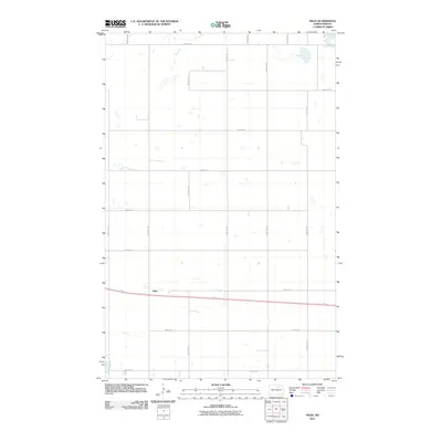
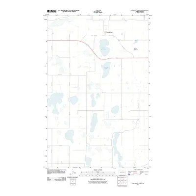
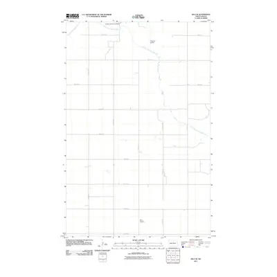
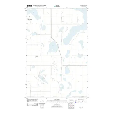
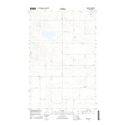
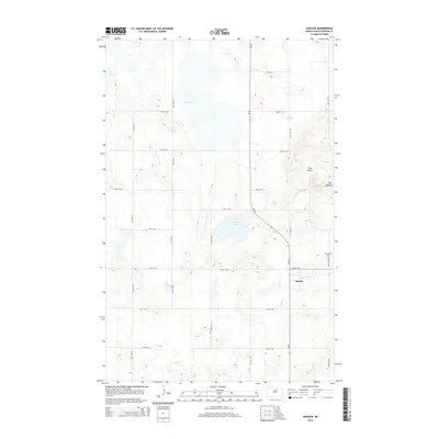
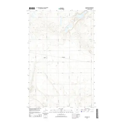
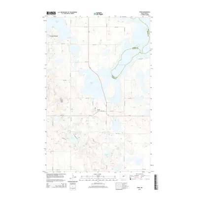
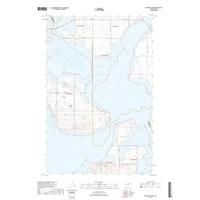
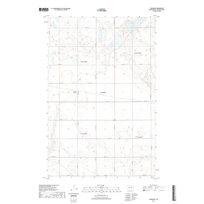
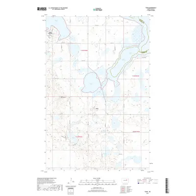
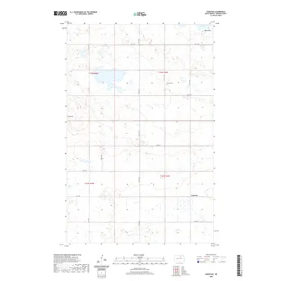
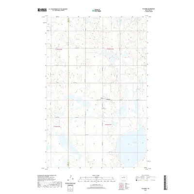
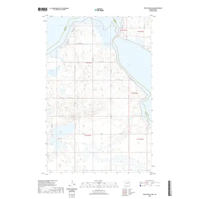
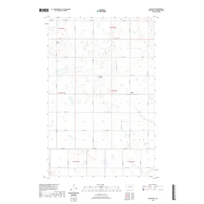
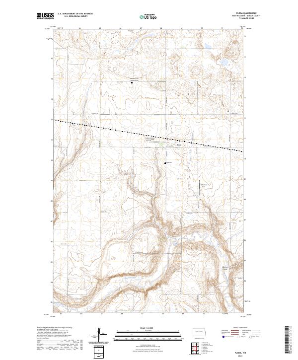
The Sheyenne River winds through this North Dakota landscape, carving a valley that separates the townships of South Viking and West Antelope. Based on surveys from 1929, the map reveals a rural economy structured by two major rail lines: the Northern Pacific, which serves the small settlements of Flora and Josephine, and the Great Northern passing through Bremen to the south. This era of high-density rural settlement is evidenced by the distribution of numerous country schools, including School No 1 and School No 4, and local social centers such as Monterey Town Hall. For those researching local heritage, the map identifies several denominational focal points like Stony Lake Ch, Viking Ch, and Augustana Ch. Prominent natural features include the glacial waters of Stony Lake and the elevation of Black Hammer Hill, which stands as a landmark above the surrounding prairie townships.
Find a feature on this map
33 named features on this map. Tap any name to fly to it.
Don’t see what you’re looking for? This feature index may not catch every label — zoom into the map to look around manually.
Map Details
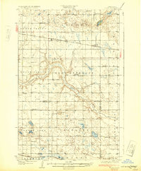
Editions of this 1932 Flora Map
2 editions found
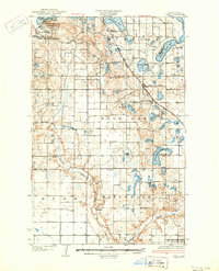
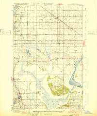
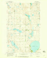
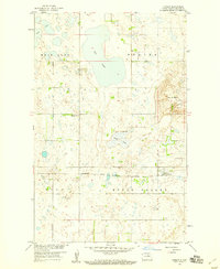
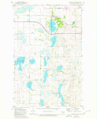
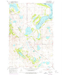
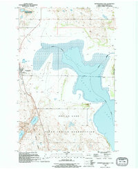
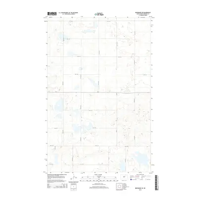
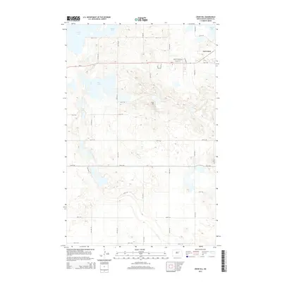
Historical Maps of Josephine Through Time
127 maps found

1928 Tokio
Benson County, ND

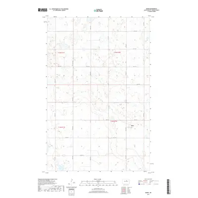
1930 Hamar
Benson County, ND
1931 Tokio
Benson County, ND
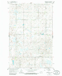
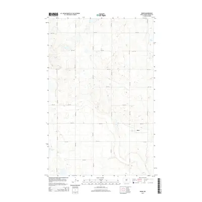
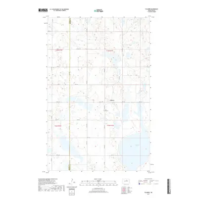
1932 Flora
Benson County, ND
1932 Grahams Island
Benson County, ND
1950 Grahams Island
Benson County, ND

1950 Tokio
Benson County, ND
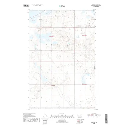
1951 Crow Hill
Benson County, ND
1951 Flora
Benson County, ND
1951 Flora
Benson County, ND
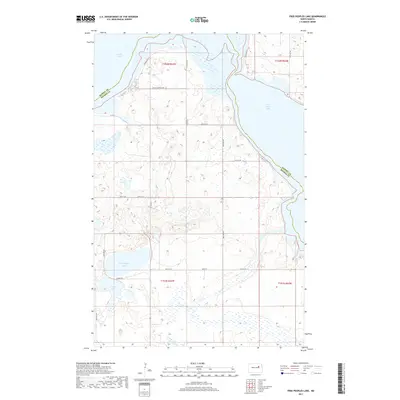
1951 Free Peoples Lake
Benson County, ND
1951 Grahams Island
Benson County, ND
1951 Hesper
Benson County, ND
1951 Josephine
Benson County, ND
1951 Minnewaukan East
Benson County, ND
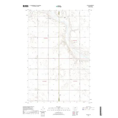
1951 Selz NE
Benson County, ND
1951 Tokio
Benson County, ND
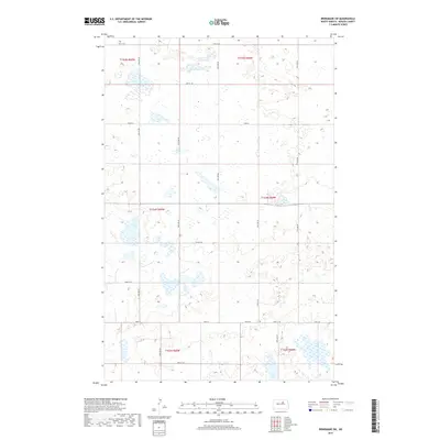
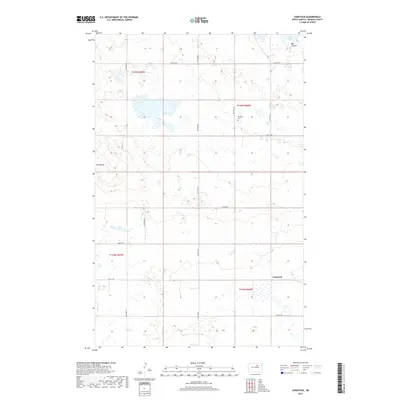
1957 Comstock
Benson County, ND
1958 Baker
Benson County, ND
1958 Brinsmade SW
Benson County, ND
1958 Fillmore
Benson County, ND
1958 Harlow
Benson County, ND
1958 Harlow SE
Benson County, ND
1958 Harlow SW
Benson County, ND
1958 Minnewaukan West
Benson County, ND
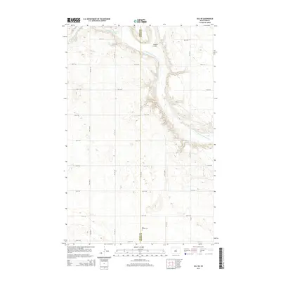
1962 Hamar
Benson County, ND
1971 Niles
Benson County, ND
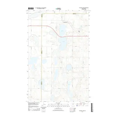
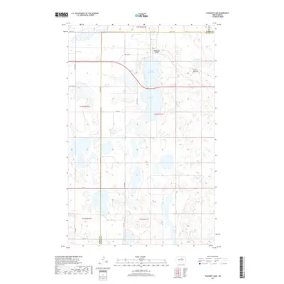
1971 Pleasant Lake
Benson County, ND
1975 Tokio
Benson County, ND

1994 Free Peoples Lake
Benson County, ND
1994 Minnewaukan East
Benson County, ND
1994 Tokio
Benson County, ND
2011 Baker
Benson County, ND
2011 Brinsmade SW
Benson County, ND
2011 Comstock
Benson County, ND
2011 Crow Hill
Benson County, ND
2011 Fillmore
Benson County, ND
2011 Flora
Benson County, ND
2011 Free Peoples Lake
Benson County, ND
2011 Grahams Island
Benson County, ND
2011 Harlow
Benson County, ND
2011 Harlow SE
Benson County, ND
2011 Harlow SW
Benson County, ND
2011 Hesper
Benson County, ND
2011 Josephine
Benson County, ND
2011 Minnewaukan East
Benson County, ND
2011 Minnewaukan West
Benson County, ND
2011 Niles
Benson County, ND
2011 Pleasant Lake
Benson County, ND
2011 Selz NE
Benson County, ND
2011 Tokio
Benson County, ND
2014 Baker
Benson County, ND
2014 Brinsmade SW
Benson County, ND
2014 Comstock
Benson County, ND
2014 Crow Hill
Benson County, ND
2014 Fillmore
Benson County, ND
2014 Flora
Benson County, ND
2014 Free Peoples Lake
Benson County, ND
2014 Grahams Island
Benson County, ND
2014 Harlow
Benson County, ND
2014 Harlow SE
Benson County, ND
2014 Harlow SW
Benson County, ND
2014 Hesper
Benson County, ND
2014 Josephine
Benson County, ND
2014 Minnewaukan East
Benson County, ND
2014 Minnewaukan West
Benson County, ND
2014 Niles
Benson County, ND
2014 Pleasant Lake
Benson County, ND
2014 Selz NE
Benson County, ND
2014 Tokio
Benson County, ND
2017 Baker
Benson County, ND
2017 Brinsmade SW
Benson County, ND
2017 Comstock
Benson County, ND
2017 Fillmore
Benson County, ND
2017 Free Peoples Lake
Benson County, ND
2017 Grahams Island
Benson County, ND
2017 Harlow
Benson County, ND
2017 Harlow SE
Benson County, ND
2017 Harlow SW
Benson County, ND
2017 Josephine
Benson County, ND
2017 Minnewaukan East
Benson County, ND
2017 Minnewaukan West
Benson County, ND
2017 Niles
Benson County, ND
2017 Pleasant Lake
Benson County, ND
2017 Selz NE
Benson County, ND
2017 Tokio
Benson County, ND
2018 Crow Hill
Benson County, ND
2018 Flora
Benson County, ND
2018 Hesper
Benson County, ND
2020 Baker
Benson County, ND
2020 Brinsmade SW
Benson County, ND
2020 Comstock
Benson County, ND
2020 Crow Hill
Benson County, ND
2020 Fillmore
Benson County, ND
2020 Flora
Benson County, ND
2020 Free Peoples Lake
Benson County, ND
2020 Grahams Island
Benson County, ND
2020 Harlow
Benson County, ND
2020 Harlow SE
Benson County, ND
2020 Harlow SW
Benson County, ND
2020 Hesper
Benson County, ND
2020 Josephine
Benson County, ND
2020 Minnewaukan East
Benson County, ND
2020 Minnewaukan West
Benson County, ND
2020 Niles
Benson County, ND
2020 Pleasant Lake
Benson County, ND
2020 Selz NE
Benson County, ND

2020 Tokio
Benson County, ND
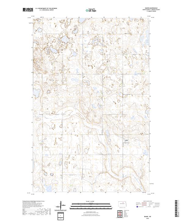
2024 Baker
Benson County, ND
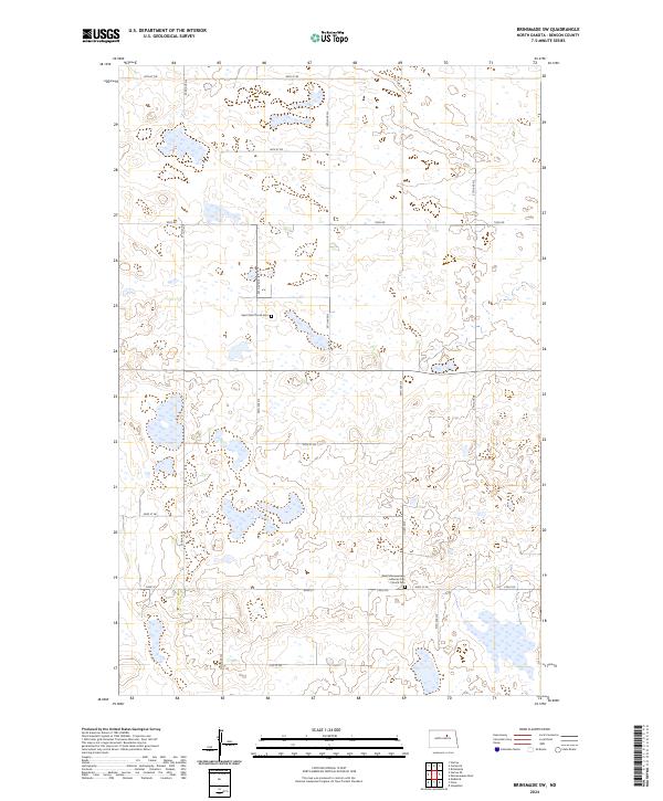
2024 Brinsmade SW
Benson County, ND
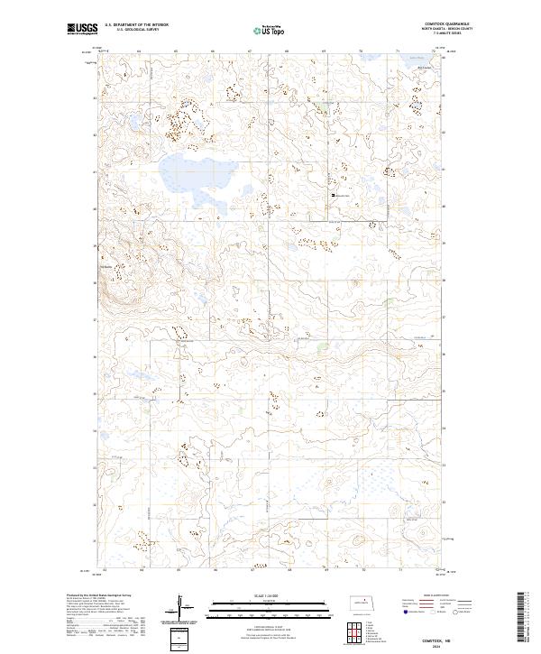
2024 Comstock
Benson County, ND
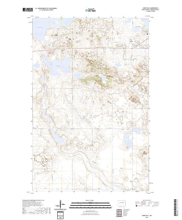
2024 Crow Hill
Benson County, ND
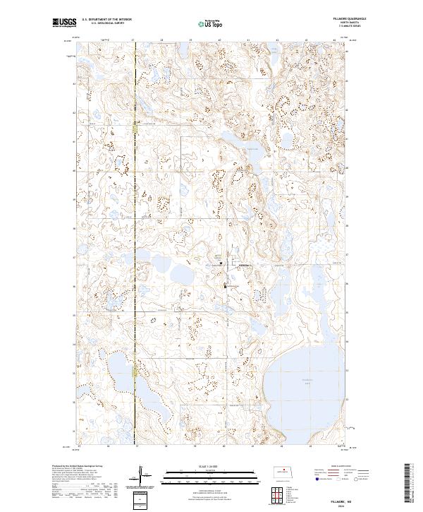
2024 Fillmore
Benson County, ND
2024 Flora
Benson County, ND
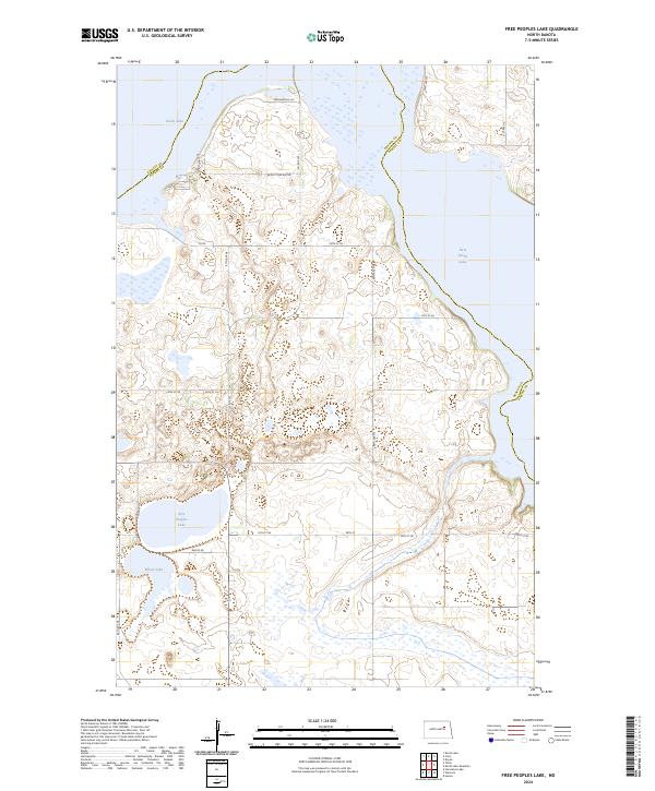
2024 Free Peoples Lake
Benson County, ND
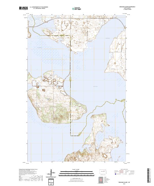
2024 Grahams Island
Benson County, ND
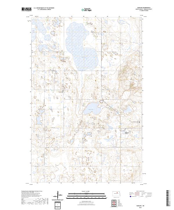
2024 Harlow
Benson County, ND
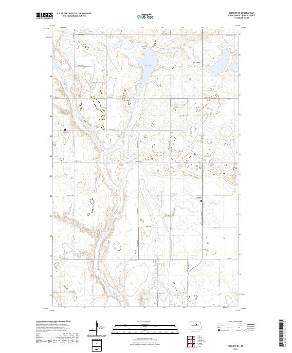
2024 Harlow SE
Benson County, ND
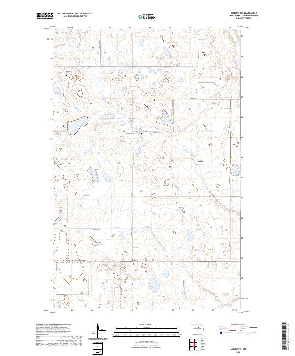
2024 Harlow SW
Benson County, ND
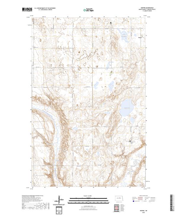
2024 Hesper
Benson County, ND
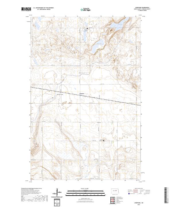
2024 Josephine
Benson County, ND
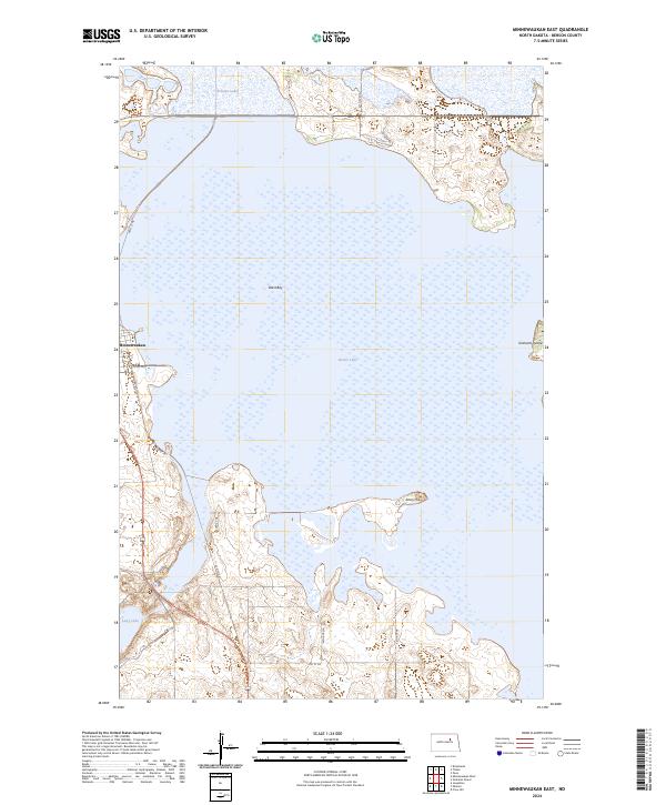
2024 Minnewaukan East
Benson County, ND
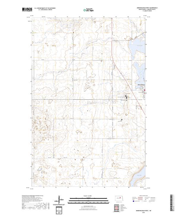
2024 Minnewaukan West
Benson County, ND
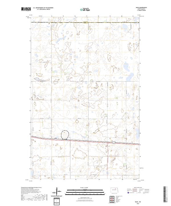
2024 Niles
Benson County, ND
2024 Pleasant Lake
Benson County, ND
2024 Selz NE
Benson County, ND
2024 Tokio
Benson County, ND