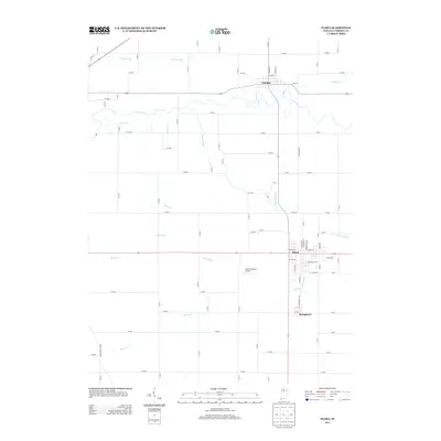
2013 Map of Flora
USGS Topo · Published 2013About this map
Flora serves as the central hub for this portion of Carroll County, where the rigid grid of county roads meets a more organic network of waterways and drainage systems. This landscape is defined by its agricultural engineering, featuring an extensive system of named channels including Johns Ditch, Sines Ditch, and Ayres Ditch that manage the fertile plains. These waterways feed into larger natural drainage features such as Deer Cr and Bachelor Run, which meander through the otherwise precise section-line road layout. To the north, Camden sits near the banks of Paint Cr, while Bringhurst occupies a position just south of the town of Flora. This 2013 survey provides a clear view of the rural infrastructure, from the Flora Municipal Airport to the various branch streams like Robinson Br and the southern flow of Sugar Cr.
Find a feature on this map
51 named features on this map. Tap any name to fly to it.
Don’t see what you’re looking for? This feature index may not catch every label — zoom into the map to look around manually.
Map Details
Editions of this 2013 Flora Map
This is the sole edition of this map. No revisions or reprints were ever made.
Other maps of this area

1953 · Danville
USGS Topo · 1:250,000

1955 · Danville
USGS Topo · 1:250,000

1956 · Danville
USGS Topo · 1:250,000

1961 · Pyrmont
USGS Topo · 1:24,000

1961 · Rossville
USGS Topo · 1:24,000

1961 · Burlington
USGS Topo · 1:24,000

1962 · Deer Creek
USGS Topo · 1:24,000

1962 · Flora
USGS Topo · 1:24,000

1962 · Burrows
USGS Topo · 1:24,000

1962 · Delphi
USGS Topo · 1:24,000