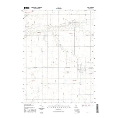
2016 Map of Flora
USGS Topo · Published 2016About this map
Flora and Camden anchor this Carroll County landscape, showcasing the grid-based agricultural organization and drainage systems of northern Indiana. The town of Flora serves as a central hub, flanked by the Flora Municipal Airport and the waters of Bachelor Run. To the north, Camden is situated along Paint Cr and Deer Creek, which meander through the farmland. The map is particularly rich for genealogical research, identifying numerous family and community burial sites including Maple Lawn Cem, Nettle Cem, and Zion Cem. A complex network of drainage ditches such as Johns Ditch, Simes Ditch, and Ayres Ditch illustrates the extensive engineering required to manage the local water table for cultivation. South of the main settlements, the community of Bringhurst sits near the banks of Sugar Cr, marking the southern extent of this rural survey.
Find a feature on this map
60 named features on this map. Tap any name to fly to it.
Don’t see what you’re looking for? This feature index may not catch every label — zoom into the map to look around manually.
Map Details
Editions of this 2016 Flora Map
This is the sole edition of this map. No revisions or reprints were ever made.
Other maps of this area

1953 · Danville
USGS Topo · 1:250,000

1955 · Danville
USGS Topo · 1:250,000

1956 · Danville
USGS Topo · 1:250,000

1961 · Pyrmont
USGS Topo · 1:24,000

1961 · Rossville
USGS Topo · 1:24,000

1961 · Burlington
USGS Topo · 1:24,000

1962 · Deer Creek
USGS Topo · 1:24,000

1962 · Flora
USGS Topo · 1:24,000

1962 · Burrows
USGS Topo · 1:24,000

1962 · Delphi
USGS Topo · 1:24,000