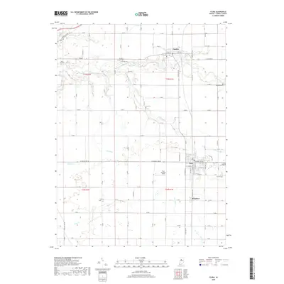
2019 Map of Flora
USGS Topo · Published 2019About this map
Flora and Bringhurst anchor the southern half of this Carroll County landscape, where the town grids meet an extensive network of drainage ditches and creeks. This 2019 survey illustrates the established agricultural and transport patterns of north-central Indiana, following the winding course of Deer Creek as it passes south of Camden. The map is particularly dense with small family and community burial grounds, including Zion Cem, Nettle Cem, and Musselman Cem, which provide specific points of interest for genealogical research. The Flora Municipal Airport occupies a section north of the main town site, while the local hydrology is defined by engineered waterways like Johns Ditch and Ayres Ditch, which manage the flat terrain between Sugar Cr and Bachelor Run.
Find a feature on this map
63 named features on this map. Tap any name to fly to it.
Don’t see what you’re looking for? This feature index may not catch every label — zoom into the map to look around manually.
Map Details
Editions of this 2019 Flora Map
This is the sole edition of this map. No revisions or reprints were ever made.
Other maps of this area

1953 · Danville
USGS Topo · 1:250,000

1955 · Danville
USGS Topo · 1:250,000

1956 · Danville
USGS Topo · 1:250,000

1961 · Pyrmont
USGS Topo · 1:24,000

1961 · Rossville
USGS Topo · 1:24,000

1961 · Burlington
USGS Topo · 1:24,000

1962 · Deer Creek
USGS Topo · 1:24,000

1962 · Flora
USGS Topo · 1:24,000

1962 · Burrows
USGS Topo · 1:24,000

1962 · Delphi
USGS Topo · 1:24,000