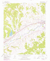
1963 Map of Flora Vista
USGS Topo · Published 1980About this map
The Animas River valley serves as the central artery for this high-desert landscape, where agricultural development relies on an intricate network of irrigation canals. Settlements like Flora Vista and Spencerville are positioned along these life-giving waterways, including the Farmers Ditch, Independent Ditch, and Elledge Mill Ditch. The presence of the Aztec Ruins near the northeastern edge of the sheet points to a deep history of human habitation, while the surrounding mesas and arroyos, such as Bald Mesa and Hargis Arroyo, characterize the arid terrain beyond the river's reach.
Find a feature on this map
43 named features on this map. Tap any name to fly to it.
Don’t see what you’re looking for? This feature index may not catch every label — zoom into the map to look around manually.
Map Details
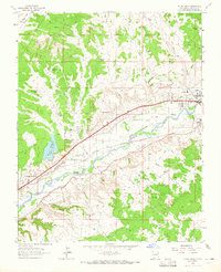
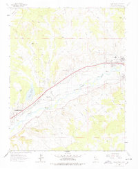
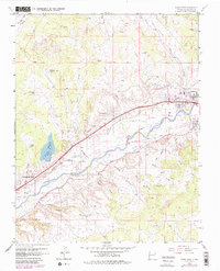
Editions of this 1963 Flora Vista Map
4 editions found
Other maps of this area

1889 · Largo
USGS Topo · 1:250,000

1889 · Chaco
USGS Topo · 1:250,000

1892 · Chaco
USGS Topo · 1:250,000

1895 · Largo
USGS Topo · 1:250,000

1954 · Shiprock
USGS Topo · 1:250,000

1954 · Aztec
USGS Topo · 1:250,000

1958 · Shiprock
USGS Topo · 1:250,000

1958 · Aztec
USGS Topo · 1:250,000

1959 · Shiprock
USGS Topo · 1:250,000

1959 · Aztec
USGS Topo · 1:62,500