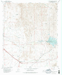
1966 Map of Florence Junction
USGS Topo · Published 1976About this map
Florence Junction serves as the focal point for this mid-1960s survey of the Pinal County landscape, where the Magma Arizona Railroad and local roads converge. The map documents a transition in water management and land use, most notably with the Whitlow Ranch Dam and the expansive Whitlow Ranch Flood Control Basin along Queen Creek. This infrastructure sits in contrast to the high desert terrain of the Tonto National Forest, characterized by prominent landmarks like Elephant Butte and Black Point.
Find a feature on this map
37 named features on this map. Tap any name to fly to it.
Don’t see what you’re looking for? This feature index may not catch every label — zoom into the map to look around manually.
Map Details
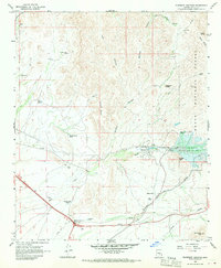
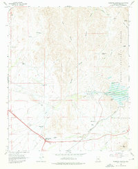
Editions of this 1966 Florence Junction Map
3 editions found
Other maps of this area

1900 · Florence
USGS Topo · 1:125,000

1902 · Florence
USGS Topo · 1:125,000

1948 · Superior
USGS Topo · 1:62,500

1948 · Iron Mountain
USGS Topo · 1:24,000

1948 · Picketpost Mtn
USGS Topo · 1:24,000

1949 · Iron Mountain
USGS Topo · 1:24,000

1949 · Picketpost Mtn
USGS Topo · 1:24,000

1954 · Mesa
USGS Topo · 1:250,000

1956 · Goldfield
USGS Topo · 1:24,000

1956 · Magma
USGS Topo · 1:24,000