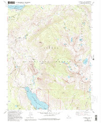
1983 Map of Florence Lake
USGS Topo · Published 1994About this map
Florence Lake and the South Fork San Joaquin River dominate this high-altitude landscape within the Sierra National Forest. This mapping effort reflects the region's mid-century hydroelectric development, featuring the Mono Tunnel and Ward Tunnel, alongside major infrastructure like the Vermilion Valley Dam at Lake Thomas A Edison. A Ferry route crosses the center of Florence Lake, connecting remote trails to MacKenzie Island and the rugged eastern shore.
Find a feature on this map
61 named features on this map. Tap any name to fly to it.
Don’t see what you’re looking for? This feature index may not catch every label — zoom into the map to look around manually.
Map Details
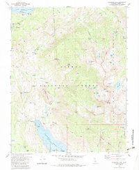
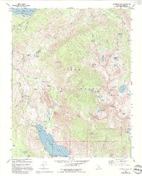
Editions of this 1983 Florence Lake Map
3 editions found
Other maps of this area

1904 · Kaiser
USGS Topo · 1:125,000

1912 · Mt. Goddard
USGS Topo · 1:125,000

1947 · Mariposa
USGS Topo · 1:250,000

1948 · Mariposa
USGS Topo · 1:250,000

1953 · Mt Abbot
USGS Topo · 1:62,500

1953 · Huntington Lake
USGS Topo · 1:62,500

1953 · Blackcap Mtn
USGS Topo · 1:62,500

1953 · Kaiser Peak
USGS Topo · 1:62,500

1957 · Mariposa
USGS Topo · 1:250,000
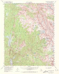
1962 · Blackcap Mtn
USGS Topo · 1:62,500