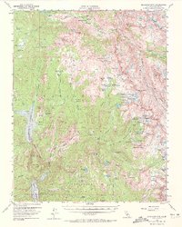
1962 Map of Blackcap Mtn
USGS Topo · Published 1972About this map
Diamond D Ranch and Chamberlains Camp stand as remote human outposts within this high-elevation wilderness surveyed in the mid-20th century. The landscape is a complex network of granite basins and glacial lakes, including Florence Lake and the South Fork San Joaquin River flowing through Blayney Meadows. The transition between the Sierra National Forest and Kings Canyon National Park is marked by a concentration of significant peaks and passes, such as Blackcap Mtn and Hell for Sure Pass. High-country navigation is defined by the John Muir Trail, which skirts the eastern edge of the quadrangle. For those researching the history of Sierra pack stations or backcountry surveying, the map identifies specific family and colloquial landmarks like Schoolmarm Lake, Maxson Meadows, and Burnt Corral Meadow, reflecting a time when these areas were primary destinations for seasonal grazing and early mountaineering expeditions.
Find a feature on this map
118 named features on this map. Tap any name to fly to it.
Don’t see what you’re looking for? This feature index may not catch every label — zoom into the map to look around manually.
Map Details
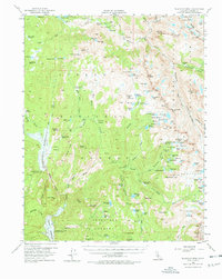
Editions of this 1962 Blackcap Mtn Map
2 editions found
Other maps of this area

1903 · Tehipite
USGS Topo · 1:125,000

1904 · Kaiser
USGS Topo · 1:125,000

1905 · Tehipite
USGS Topo · 1:125,000

1912 · Mt. Goddard
USGS Topo · 1:125,000

1922 · Trimmer
USGS Topo · 1:96,000

1924 · Dinuba
USGS Topo · 1:125,000

1947 · Mariposa
USGS Topo · 1:250,000

1948 · Fresno
USGS Topo · 1:250,000

1948 · Mariposa
USGS Topo · 1:250,000

1948 · Mt. Goddard
USGS Topo · 1:62,500