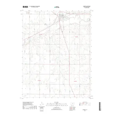
2018 Map of Florence
USGS Topo · Published 2018About this map
The Cottonwood River and its southern tributary, Doyle Cr, define the drainage and early settlement pattern of this Marion County landscape. At the confluence sits the town of Florence, where a grid of streets like Main St and Doyle St meets the rail lines. The surrounding prairie is segmented by a strictly rectangular road network, including long stretches of Wagonwheel Rd and Xavier Rd that cross the upland divides between watercourses. For genealogists, the map preserves the location of Mount Calvary Cem and Allison Cem, while natural landmarks like Coyne Spring and Lee Spring reveal the reliable water sources that likely anchored early homesteads. This 2018 survey demonstrates how the modern rural infrastructure maintains the township and range boundaries established over a century ago.
Find a feature on this map
40 named features on this map. Tap any name to fly to it.
Don’t see what you’re looking for? This feature index may not catch every label — zoom into the map to look around manually.
Map Details
Editions of this 2018 Florence Map
This is the sole edition of this map. No revisions or reprints were ever made.
Other maps of this area

1889 · Newton
USGS Topo · 1:125,000

1894 · Newton
USGS Topo · 1:125,000

1898 · Cottonwood Falls
USGS Topo · 1:125,000

1955 · Hutchinson
USGS Topo · 1:250,000

1957 · Florence
USGS Topo · 1:24,000

1957 · Wonsevu
USGS Topo · 1:24,000

1957 · Cedar Point
USGS Topo · 1:24,000

1957 · Lincolnville SW
USGS Topo · 1:24,000

1957 · Peabody
USGS Topo · 1:24,000

1959 · Hutchinson
USGS Topo · 1:250,000