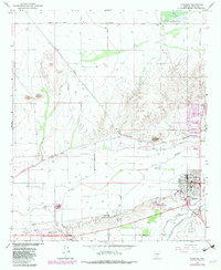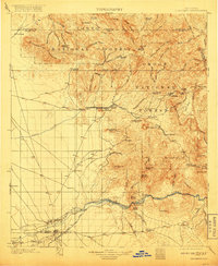
1902 Map of Florence
USGS Topo · Published 1917About this map
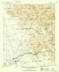
The Gila River provides a vital corridor of water and transit through this arid landscape, anchoring the regional center of Florence. Just west of the town, the Casa Grande Canal and Adamsville represent the agricultural and civic development of the early twentieth century, while the presence of Posten Butte and Florence Sta. mark the intersection of landmarks and early rail infrastructure. Northward, the terrain transitions into the high-relief peaks of the Superstition Mountains, where prospecting and ranching were the primary human activities. Settlements like the mining camp at Goldfield and the isolated Silver Bell Mine reflect the era's mineral boom. Scattered family-named outposts, including Tortilla Ranch and Arnett Ranch, suggest a hardscrabble cattle economy operating within the boundaries of the Tonto National Forest and Crook National Forest. This mapping reveals a time when narrow canyons like Devils Canyon and features like Apache Leap were known mostly to miners and ranchers.
Find a feature on this map
122 named features on this map. Tap any name to fly to it.
Don’t see what you’re looking for? This feature index may not catch every label — zoom into the map to look around manually.
Map Details
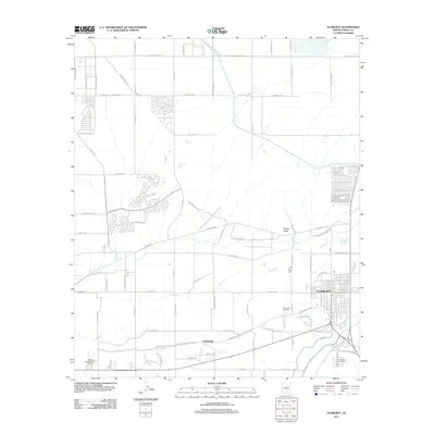
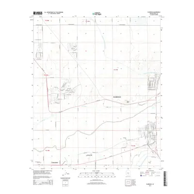
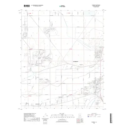
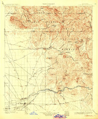
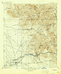
Editions of this 1902 Florence Map
5 editions found

Historical Maps of Apache Junction Through Time
7 maps found