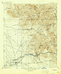
1902 Map of Florence
USGS Topo · Published 1946About this map
Florence and the surrounding desert floor meet the complex topography of the Superstition Mountains in this early century survey of Pinal and Maricopa counties. The map captures the region during a pivotal era of mining and ranching, evidenced by the cluster of remote outposts such as Tortilla Ranch, Nicholas Ranch, and Arnett Ranch. The Arizona Eastern railroad follows the Gila River corridor, passing through small stops like Cochran and Adamsville. This layout reveals the essential connection between water sources and settlement, with the Gila and Queen Creek serving as the primary lifelines for both agriculture and industry. In the high country, mining prospects like the Silver Bell Mine and the community of Silverking mark the expansion into the mineral-rich territory within the Crook National Forest and Tonto National Forest. Notable landmarks such as Weavers Needle and Picketpost Mt. provide clear navigational markers for researchers tracing early Arizona trails.
Find a feature on this map
88 named features on this map. Tap any name to fly to it.
Don’t see what you’re looking for? This feature index may not catch every label — zoom into the map to look around manually.
Map Details
Editions of this 1902 Florence Map
5 editions found
Other maps of this area

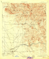
1900 · Florence
USGS Topo · 1:125,000

1901 · Globe
USGS Topo · 1:62,500

1902 · Globe
USGS Topo · 1:62,500

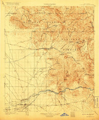
1902 · Florence
USGS Topo · 1:125,000

1904 · Desert Well
USGS Topo · 1:62,500

1904 · Ft. McDowell
USGS Topo · 1:62,500

1906 · Ft. McDowell
USGS Topo · 1:62,500

1906 · Desert Well
USGS Topo · 1:62,500

1907 · Sacaton
USGS Topo · 1:62,500

1907 · Roosevelt
USGS Topo · 1:125,000