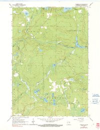
1962 Map of Florence SE
USGS Topo · Published 1991About this map
Pine River and Popple River dominate this Wisconsin landscape, winding through the townships of Fern, Commonwealth, and Homestead. The water-rich terrain is defined by its glacial heritage, featuring a high density of lakes including Seidel Lake, Emily Lake, and West Bass Lake. Significant river features like Popple Rapids and Pine Rapids transition into the Pine River Flowage, reflecting the region's historical reliance on these waterways for both industry and early recreation.
Find a feature on this map
33 named features on this map. Tap any name to fly to it.
Don’t see what you’re looking for? This feature index may not catch every label — zoom into the map to look around manually.
Map Details
Editions of this 1962 Florence SE Map
2 editions found
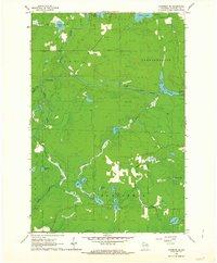
Other maps of this area

1939 · Dunbar
USGS Topo · 1:48,000

1939 · Goodman
USGS Topo · 1:48,000

1939 · Iron Mountain
USGS Topo · 1:48,000

1941 · Florence
USGS Topo · 1:48,000

1941 · Dunbar
USGS Topo · 1:48,000

1941 · Iron Mountain
USGS Topo · 1:48,000

1946 · Goodman
USGS Topo · 1:48,000

1947 · Naults
USGS Topo · 1:24,000

1947 · Dunbar
USGS Topo · 1:48,000

1947 · Iron Mountain
USGS Topo · 1:48,000