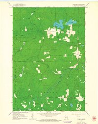
1962 Map of Florence SW
USGS Topo · Published 1964About this map
Nicolet National Forest encompasses much of this Wisconsin landscape, where the Popple River winds through the southern terrain, marked by several distinct rapids. The rural settlement of Fern serves as a focal point for local history researchers, situated near the intersection of various creek systems like Woods Creek and Patten Creek. This 1962 field-checked survey illustrates a region defined by its timber and water resources, with numerous small lakes such as Patten Lake, Price Lake, and Lund Lake scattered throughout the glacial topography.
Find a feature on this map
22 named features on this map. Tap any name to fly to it.
Don’t see what you’re looking for? This feature index may not catch every label — zoom into the map to look around manually.
Map Details
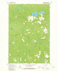
Editions of this 1962 Florence SW Map
2 editions found
Other maps of this area

1939 · Goodman
USGS Topo · 1:48,000

1939 · Laona
USGS Topo · 1:48,000

1939 · Long Lake
USGS Topo · 1:48,000

1941 · Florence
USGS Topo · 1:48,000

1946 · Laona
USGS Topo · 1:48,000

1946 · Goodman
USGS Topo · 1:48,000

1947 · Naults
USGS Topo · 1:24,000

1947 · Stager
USGS Topo · 1:24,000

1948 · Long Lake
USGS Topo · 1:48,000

1954 · Iron Mountain
USGS Topo · 1:250,000