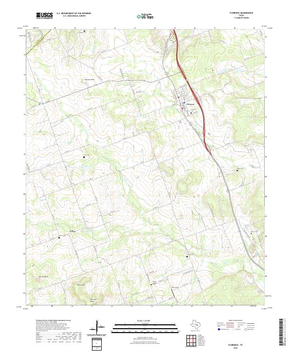
2022 Map of Florence
USGS Topo · Published 2022About this map
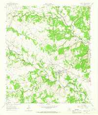
Florence stands as the primary hub in this central Texas landscape, positioned at the intersection of FM 487 and State Highway 195. The town's grid, featuring streets like W Main St and S Patterson Ave, transitions into a rural expanse defined by limestone uplands and meandering creek branches. This survey captures a dense network of country burial grounds that serve as vital markers for local genealogy, including Florence Cem, Dixon Cem to the north, and Wesley Chapel Cem further south.
Find a feature on this map
83 named features on this map. Tap any name to fly to it.
Don’t see what you’re looking for? This feature index may not catch every label — zoom into the map to look around manually.
Map Details
Editions of this 2022 Florence Map
This is the sole edition of this map. No revisions or reprints were ever made.
Other maps of this area

1893 · Georgetown
USGS Topo · 1:125,000

1925 · Georgetown 4-b
USGS Topo · 1:48,000

1928 · Round Rock
USGS Topo · 1:62,500

1949 · Round Rock
USGS Topo · 1:62,500

1951 · Round Rock
USGS Topo · 1:62,500

1954 · Austin
USGS Topo · 1:250,000
1958 · Youngsport
USGS Topo · 1:24,000
1958 · Ding Dong
USGS Topo · 1:24,000
1958 · Briggs
USGS Topo · 1:24,000
1962 · Liberty Hill
USGS Topo · 1:24,000