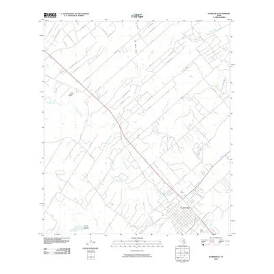
2010 Map of Floresville
USGS Topo · Published 2010About this map
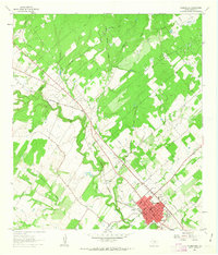
The San Antonio River carves a winding path through this corner of Wilson County, anchoring the landscape around the city of Floresville. This 2010 survey details a region where traditional river-bottom topography meets modern residential expansion, evidenced by the intricate network of roads like Eagle Creek Ranch Blvd and Shannon Ridge Dr north of the city center. The map reveals the local hydrology through named drainages such as Kicaster Creek, Seguin Branch, and Lodi Branch, which converge toward the main river valley.
Find a feature on this map
63 named features on this map. Tap any name to fly to it.
Don’t see what you’re looking for? This feature index may not catch every label — zoom into the map to look around manually.
Map Details
Editions of this 2010 Floresville Map
This is the sole edition of this map. No revisions or reprints were ever made.
Other maps of this area

1936 · Floresville
USGS Topo · 1:62,500

1953 · Elmendorf
USGS Topo · 1:24,000

1954 · San Antonio
USGS Topo · 1:250,000

1957 · San Antonio
USGS Topo · 1:250,000

1958 · La Vernia SW
USGS Topo · 1:24,000

1958 · Saspamco
USGS Topo · 1:24,000
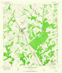
1961 · Poth
USGS Topo · 1:24,000
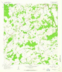
1961 · Marcelinas Hills
USGS Topo · 1:24,000
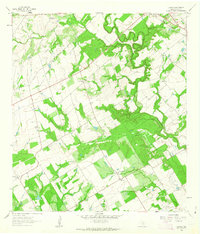
1961 · Dewees
USGS Topo · 1:24,000
1961 · Floresville
USGS Topo · 1:24,000