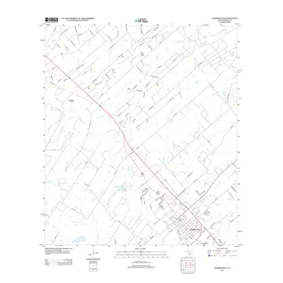
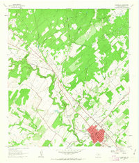
2013 Map of Floresville
USGS Topo · Published 2013About this map
The San Antonio River snakes through the center of this South Texas landscape, anchoring the city of Floresville. This 2013 survey reveals a transition from the established grid of the county seat to expanding residential developments like those surrounding Abrego Lake Dr. Notable topographic features such as Deadman Hollow and Lost Spring Hollow punctuate the terrain north of the river, while numerous tributaries including Kicaster Cr and Sandpit Cr drain into the main valley. Genealogists can identify significant burial sites on the city’s periphery, including Sacred Heart Cem and Lodi Cem. The map provides a contemporary view of the region's transport network, from local routes like FM-775 to the neighborhood streets emerging near Eagle Cr.
Find a feature on this map
141 named features on this map. Tap any name to fly to it.
Don’t see what you’re looking for? This feature index may not catch every label — zoom into the map to look around manually.
Map Details
Editions of this 2013 Floresville Map
This is the sole edition of this map. No revisions or reprints were ever made.
Other maps of this area

1936 · Floresville
USGS Topo · 1:62,500

1953 · Elmendorf
USGS Topo · 1:24,000

1954 · San Antonio
USGS Topo · 1:250,000

1957 · San Antonio
USGS Topo · 1:250,000

1958 · La Vernia SW
USGS Topo · 1:24,000

1958 · Saspamco
USGS Topo · 1:24,000
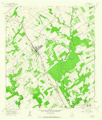
1961 · Poth
USGS Topo · 1:24,000
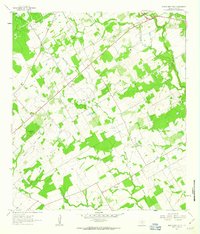
1961 · Marcelinas Hills
USGS Topo · 1:24,000
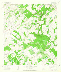
1961 · Dewees
USGS Topo · 1:24,000
1961 · Floresville
USGS Topo · 1:24,000