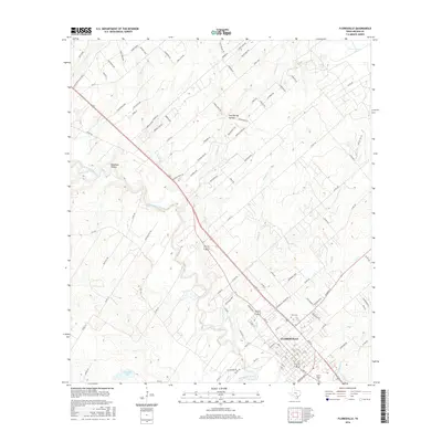
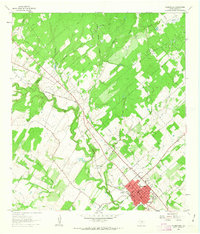
2016 Map of Floresville
USGS Topo · Published 2016About this map
Floresville serves as the central hub of this South Texas landscape, where the street grid of the city meets the winding course of the San Antonio River. The terrain is defined by a series of drainage basins, including Deadman Hollow and Lost Spring Hollow, which feed into tributaries like Kicaster Creek and Seguin Branch. Significant for genealogical research, the map identifies key resting places such as Lodi Cemetery and Sacred Heart Cemetery near the heart of the settlement. The infrastructure shows a clear transition from the urban density of the town to the surrounding rural reaches, marked by prominent water features like Connally Lake and the Grass Ponds in the northeast. This 2016 survey documents the modern layout of the Wilson County seat and its connection to the river valley.
Find a feature on this map
112 named features on this map. Tap any name to fly to it.
Don’t see what you’re looking for? This feature index may not catch every label — zoom into the map to look around manually.
Map Details
Editions of this 2016 Floresville Map
This is the sole edition of this map. No revisions or reprints were ever made.
Other maps of this area

1936 · Floresville
USGS Topo · 1:62,500

1953 · Elmendorf
USGS Topo · 1:24,000

1954 · San Antonio
USGS Topo · 1:250,000

1957 · San Antonio
USGS Topo · 1:250,000

1958 · La Vernia SW
USGS Topo · 1:24,000

1958 · Saspamco
USGS Topo · 1:24,000
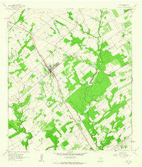
1961 · Poth
USGS Topo · 1:24,000
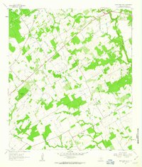
1961 · Marcelinas Hills
USGS Topo · 1:24,000
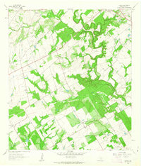
1961 · Dewees
USGS Topo · 1:24,000
1961 · Floresville
USGS Topo · 1:24,000